Snowfall totals: Wisconsin winter storm Jan. 12-13

Scramble to clear snow before freeze
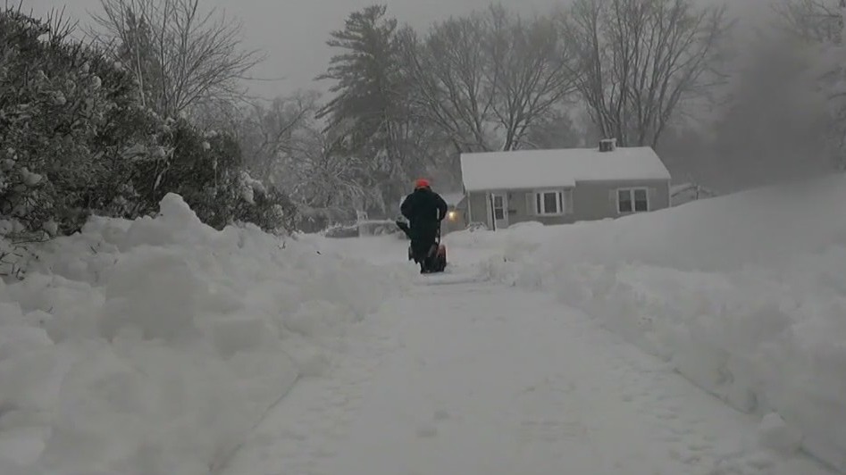
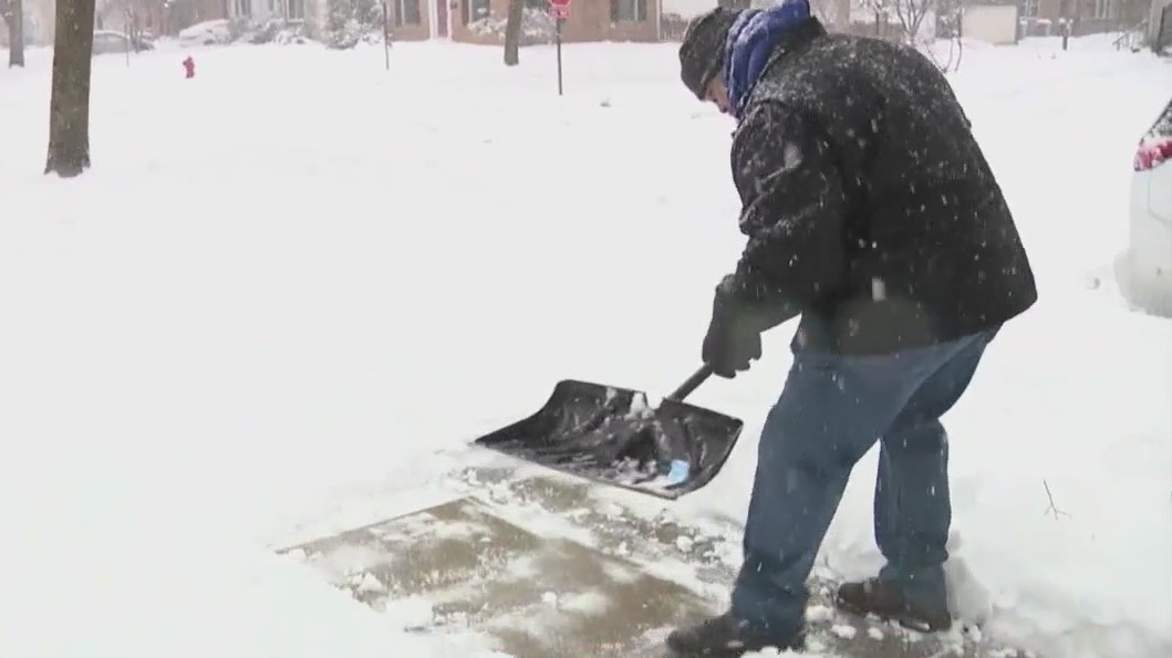
As several inches accumulated during the winter storm, people across southeast Wisconsin rushed to clear driveways and sidewalks.
MILWAUKEE - The National Weather Service (NWS) is collecting snowfall data from the Jan. 12-13 winter storm that impacted southeast Wisconsin.
As several inches accumulated, people across the area rushed to clear driveways and sidewalks. There's a chance snow or slush could freeze and turn to ice in the coming days, making it dangerous to drive or walk on – and significantly more difficult to shovel.
Below is a list of the running snowfall totals (in inches) in southeast Wisconsin.
CLICK HERE to view a snowfall totals map (alphabetical) from the National Weather Service
18.0 West Bend
16.5 New Berlin
16.3 Germantown
16.0 Hubertus
16.0 Plymouth
16.0 Pewaukee
16.0 Brookfield
15.7 Sussex
14.5 Delafield
14.5 Menomonee Falls
14.4 Sullivan
14.1 Butler
14.0 West Allis
14.0 Campbellsport
14.0 Horicon
13.5 Burlington
13.1 Port Washington
13.0 Elkhorn
12.5 Waukesha
12.0 Mequon
12.0 Saukville
12.0 Ixonia
12.0 Fond du Lac
12.0 Ripon
12.0 Salem Lakes
11.5 Fort Atkinson
11.5 Jackson
11.0 Pell Lake
11.0 Wind Lake
11.0 Greendale
10.5 Oconomowoc
10.4 Beaver Dam
8.7 Lake Mills
8.5 Palmyra
7.7 Airport
6.0 Mayville
4.6 Racine
3.8 Sturtevant
3.0 Caledonia
1.7 North Bay

Powerlifter explains proper shoveling technique
In Wauwatosa, two professional lifters explained how to move heavy snow during the winter storm. It can prove dangerous to some people's health.
Continued winter storm coverage
- Wisconsin winter storm warning; what you need to know
- Power outages: We Energies responds to thousands of reports
- Pictures: Snowstorm hits southeast Wisconsin on Jan. 12-13
- Milwaukee Mitchell Airport flight cancellations, delays Friday
- SE Wisconsin road conditions deteriorating; snow moving through
- Milwaukee DPW: Winter storm, snowfall impacts residents need to know
- Waukesha County snow emergency, officials: 'stay at home'
- Wisconsin snowstorm; proper shoveling technique from powerlifter
FOX6 Weather Extras
Meanwhile, FOX6Now.com offers a variety of extremely useful weather tools to help you navigate the stormy season. They include the following:
FOX6 Storm Center app

FOX6 News app
FOX Weather app
FOX Weather
Maps and radar
We have a host of maps and radars on the FOX6 Weather page that are updating regularly — to provide you the most accurate assessment of the weather. From a county-by-county view to the Midwest regional radar and a national view — it’s all there.
School and business closings
When the weather gets a little dicey, schools and businesses may shut down. Monitor the latest list of closings, cancellations, and delays reported in southeast Wisconsin.

FOX6 Weather Experts in social media
- CLICK HERE to "Like" the FOX6 Weather Team on Facebook
- CLICK HERE to "Like" Rob Haswell on Facebook
- CLICK HERE to "Like" Tom Wachs on Facebook
- CLICK HERE to "Like" Stephanie Barichello on Facebook
- CLICK HERE to "Like" Eric Manges on Facebook
- CLICK HERE to "Like" Lisa Michaels on Facebook
- CLICK HERE to "Follow" the FOX6 Weather Team on Twitter
- CLICK HERE to "Follow" Rob Haswell on Twitter
- CLICK HERE to "Follow" Tom Wachs on Twitter
- CLICK HERE to "Follow" Stephanie Barichello on Twitter
- CLICK HERE to "Follow" Eric Manges on Twitter
- CLICK HERE to "Follow" Lisa Michaels on Twitter

