Buffalo area could get over 4 feet of snow by the weekend
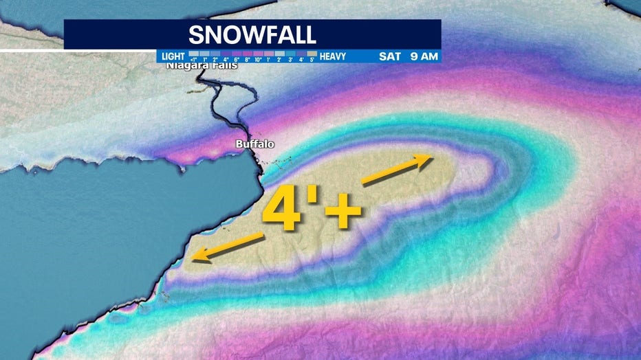
From Thursday night, Nov. 17 through Saturday morning, Nov. 19 a large swath of New York state just south of Buffalo will have a chance at getting over 4 feet of snow. Some atmospheric models push that number to nearly 6 feet, but at least 4 feet is much more likely.
This region and others on the eastern portion of the Great Lakes can all thank lake effect snow for these massive totals.

Through the weekend portions of New York will see over 4' of snowfall
Milwaukee, Duluth, and other cities on the western side of the Great Lakes can still get lake effect and lake-enhanced snow, but the prevailing wind direction is the big key.
SIGN UP TODAY: Get daily headlines, breaking news emails from FOX6 News
Our winds in the Northern Hemisphere generally go from west to east and as a result dry arctic air running over warmer and more humid Great Lakes puts snow totals on steroids. Cities in the upper peninsula are a great example of this and regularly get well over 100 inches of snowfall per year.

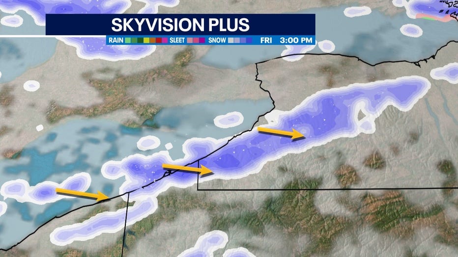
Lake effect snow bands will drop almost constant heavy snow on the region and is why snow totals will be so extreme
This latest lake effect snow is a great example of the perfect wind direction and warm lake water scenario providing the Buffalo area with nearly constant heavy snowfall heading into the weekend.

