Snow returns this weekend, a few inches likely over Saturday and Sunday
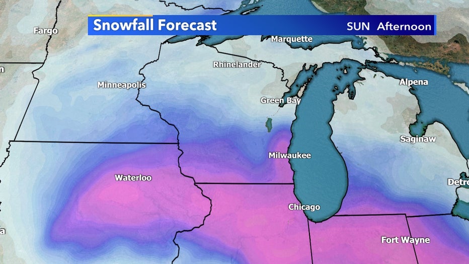
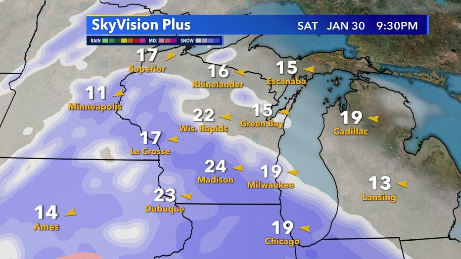
There will be a chance for plowable snow once again from Saturday, Jan. 30 to Sunday, Jan. 31 with the largest impacts and totals trending in northern Illinois. Southeast Wisconsin will be on the northern edge of this system but decent accumulations are possible if the current trend holds.
Most of the snow will be tapering off by Sunday afternoon, Jan. 31 but a northern shift in the low path could extend that potential.
It's still too early to nail down an exact snowfall total forecast but overall 3"+ doesn't seem out of the question at this time but again the highest totals will likely be in Illinois from this system.
By the start of next week and the beginning of February, we're starting off seasonable and quiet with what appears to be a slight break from shoveling. Winter finally decided to show up for January!