More big snowfall potential for Wisconsin to end the week
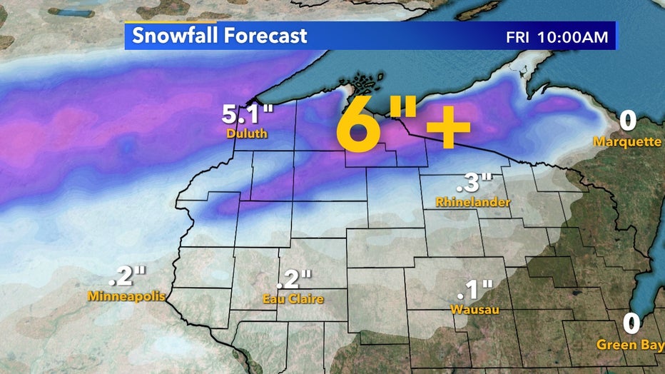
Only a day after Minneapolis and western Wisconsin saw over 6" of snow it's now the northern highlands turn near Lake Superior. Between Thursday, Oct. 22 and Friday, Oct. 23, areas from Duluth all the way to the Upper Peninsula will see spots over 6" of snowfall.

Friday morning, Oct. 23 snowfall forecast
Milwaukee has had reports of a wintry mix this fall but still no accumulating snow. We average our first trace of snow by Oct. 22 and our first tenth of an inch by Nov. 13 but we won't receive any measurable snow from this system.
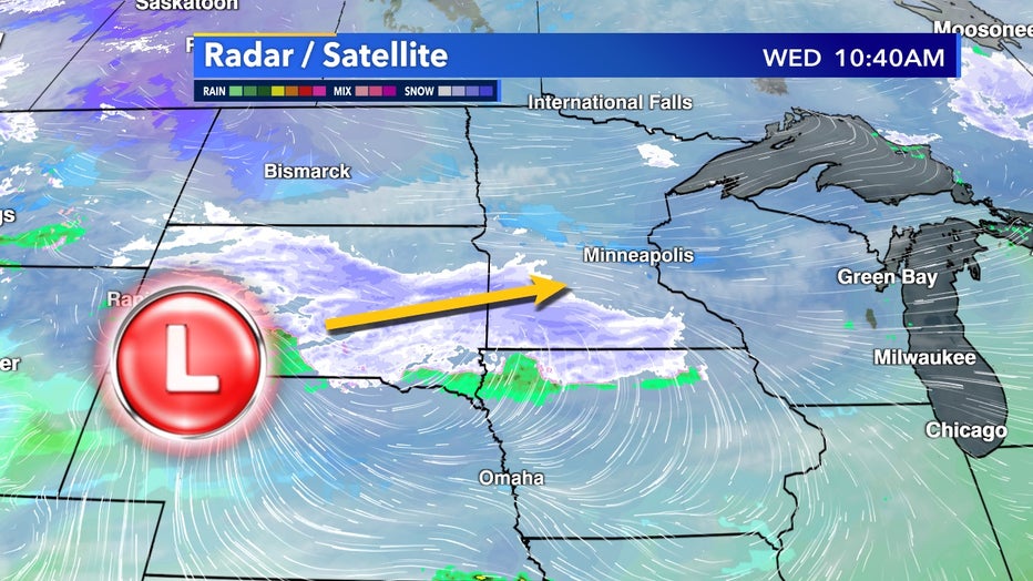
An arctic low will merge with an existing low-pressure system in the Rocky Mountains over the next 24-hours. As it approaches, cold upper-level air will be met with plenty of moisture from the south which will help deliver widespread frozen precip potential.
Once this low tracks over northern Wisconsin it will add lake effect potential to the arrowhead of Minnesota and southern Canada heading into the weekend.

Low track from Wednesday morning, Oct. 21 through Oct. 23
On top of this snow potential, bitter cold follows. Single digits lows will creep into Minnesota and the Dakotas for the first time this fall behind this system. Sub 0˚F temperatures are still far off into Canada for now.

