

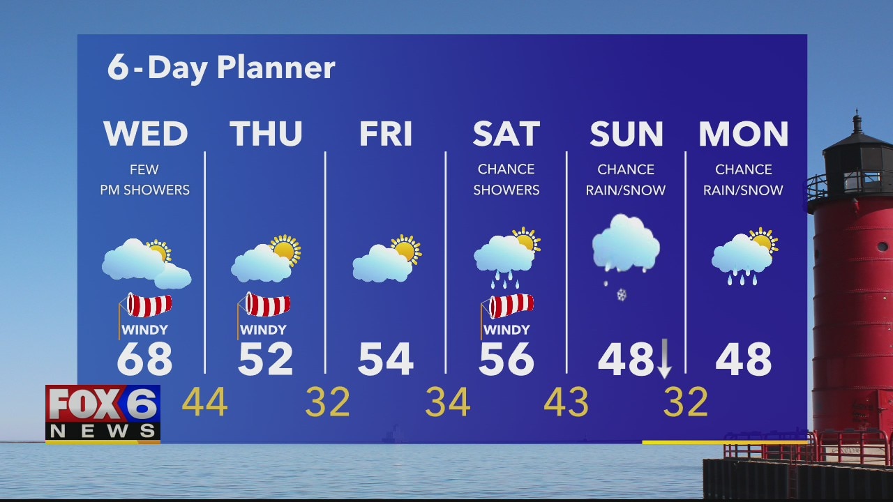
Weather webcast with Rob Haswell
A low is moving into our area helping to generate a strong SW wind with gusts in the 35-45mph range. Ahead of that low we warm into the upper 60s but when the cold front clears later today we drop into the low 50s. We stay well below average through the weekend and into early next week.
A low is moving into our area helping to generate a strong SW wind with gusts in the 35-45mph range. Ahead of that low we warm into the upper 60s but when the cold front clears later today we drop into the low 50s. We stay well below average through the weekend and into early next week.
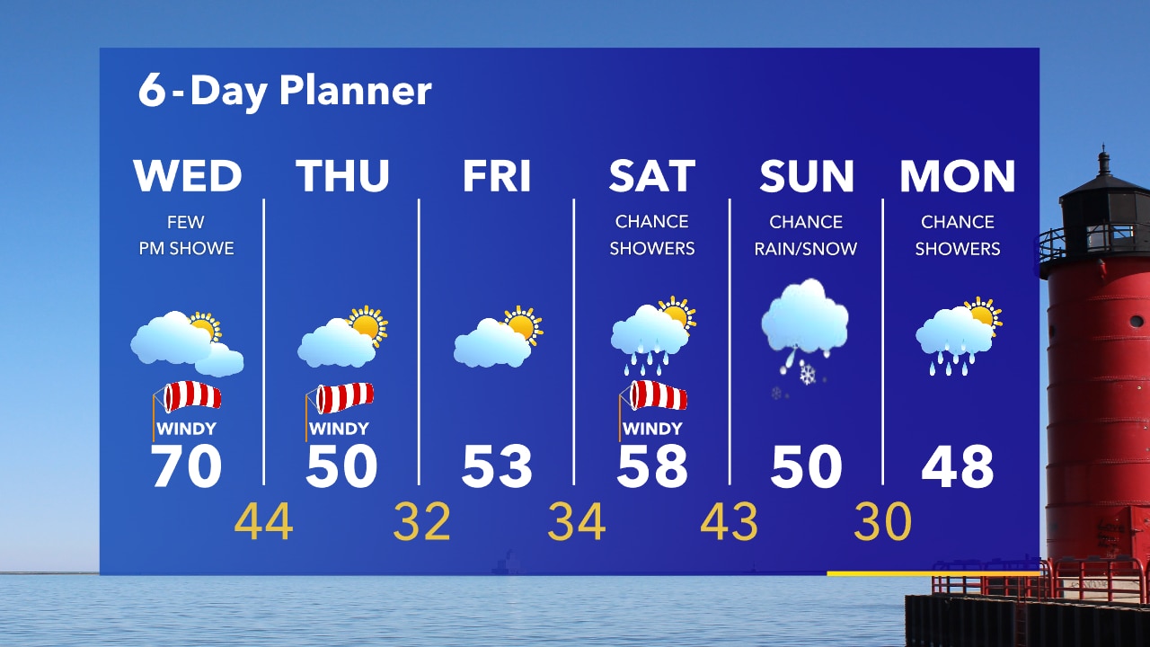
Weather Webcast with Tom Wachs
One more warm day before a big cool down. The wind picks up on Wednesday and lingers into Thursday morning. Much cooler air blows in on Thursday with a 20 degree temperature drop.
One more warm day before a big cool down. The wind picks up on Wednesday and lingers into Thursday morning. Much cooler air blows in on Thursday with a 20 degree temperature drop.
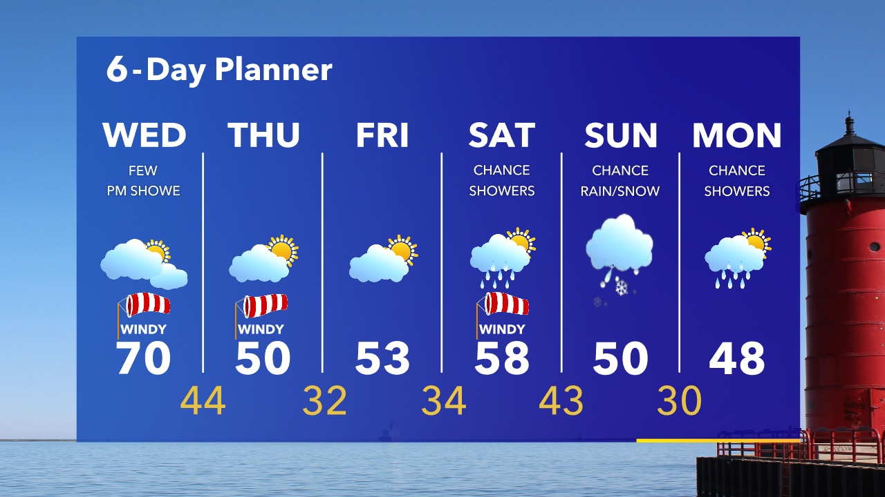
Weather Webcast with Tom Wachs
The wind will settle down tonight under clear skies. The clouds and wind will return on Wednesday along with a few afternoon rain showers. It is our last warm day before we drop in Thursday.
The wind will settle down tonight under clear skies. The clouds and wind will return on Wednesday along with a few afternoon rain showers. It is our last warm day before we drop in Thursday.
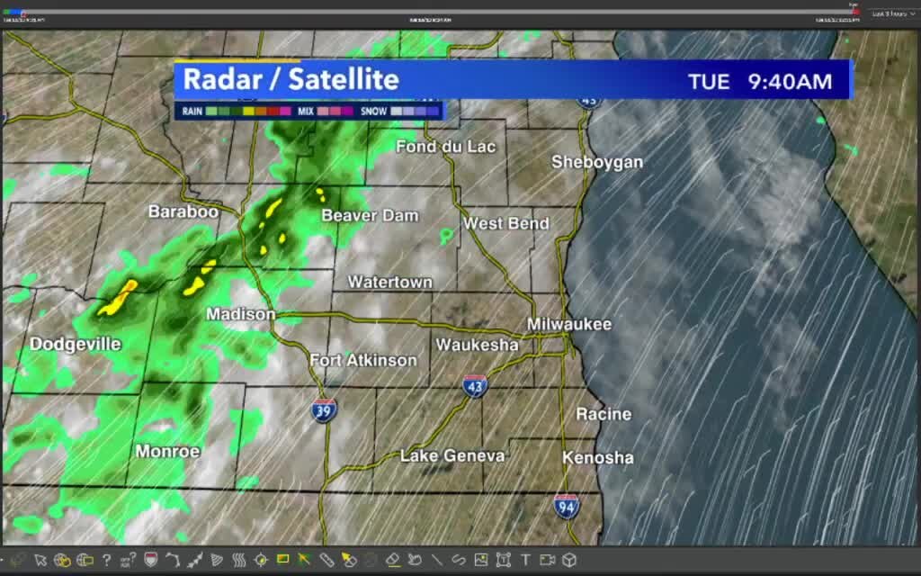
Weather Webcast with Stephanie Barichello
Windy with clearing clouds this afternoon then another chance for showers Wednesday evening. Much cooler to end the work week.
Windy with clearing clouds this afternoon then another chance for showers Wednesday evening. Much cooler to end the work week.
Weather webcast with Rob Haswell
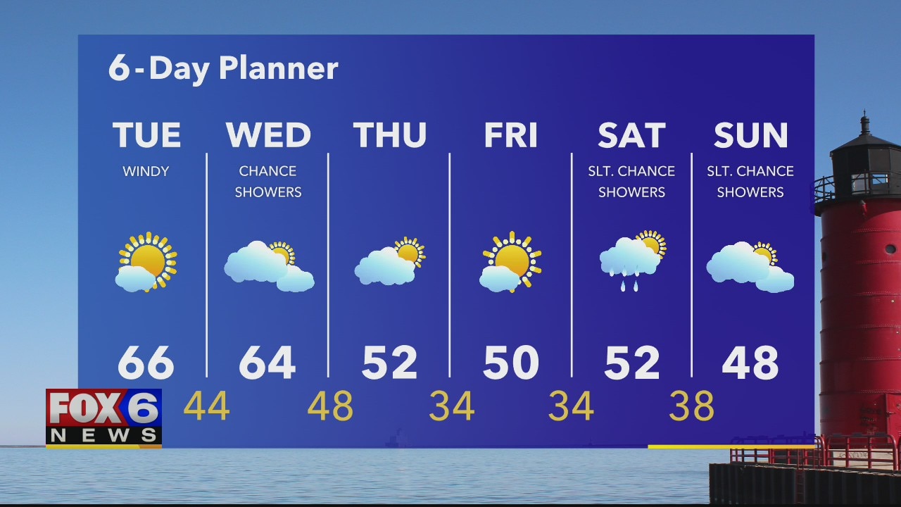
Ahead of another low today that will generate a strong SW wind gusting into the 30mph range at times. The sun and the wind should help us warm into the mid to upper 60s today. We stay in the mid 60s tomorrow with a chance for showers. A cold front then passes and we cool down for a few days.
Ahead of another low today that will generate a strong SW wind gusting into the 30mph range at times. The sun and the wind should help us warm into the mid to upper 60s today. We stay in the mid 60s tomorrow with a chance for showers. A cold front then passes and we cool down for a few days.
Weather Webcast with Tom Wachs
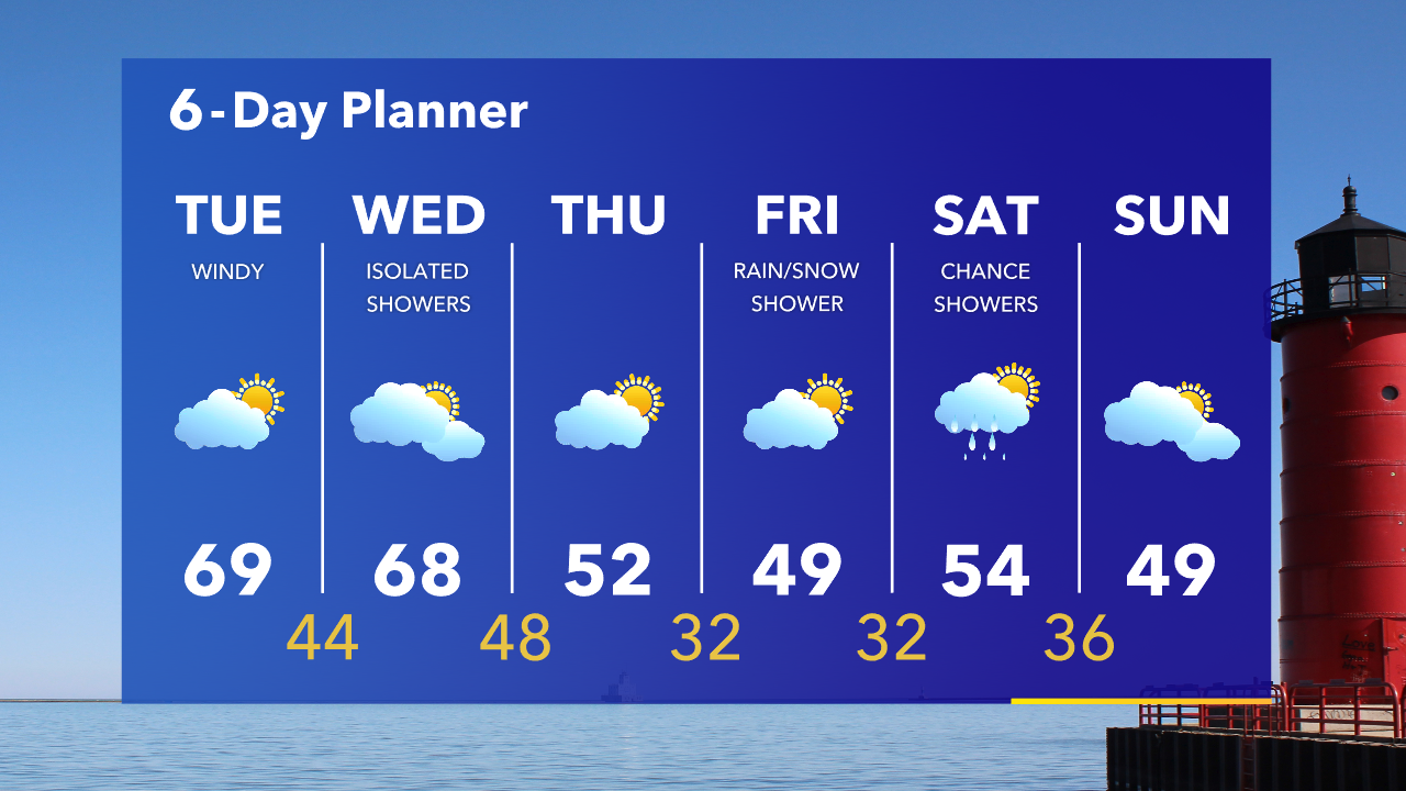
Crisp overnight with temperatures in the 40s. Partly sunny windy and warmer on Tuesday with a high in the upper 60s. A big temperature drop is expected late this week.
Crisp overnight with temperatures in the 40s. Partly sunny windy and warmer on Tuesday with a high in the upper 60s. A big temperature drop is expected late this week.
Weather Webcast with Tom Wachs
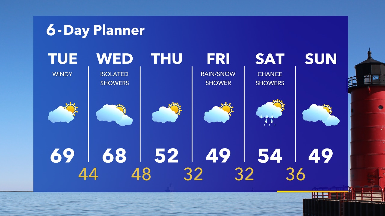
Rapid clearing tonight as the rain moves off to the east. Temperatures will drop into the 40s. Mild weather on the way through Wednesday before a big temperature drop.
Rapid clearing tonight as the rain moves off to the east. Temperatures will drop into the 40s. Mild weather on the way through Wednesday before a big temperature drop.
Weather Webcast with Eric Manges
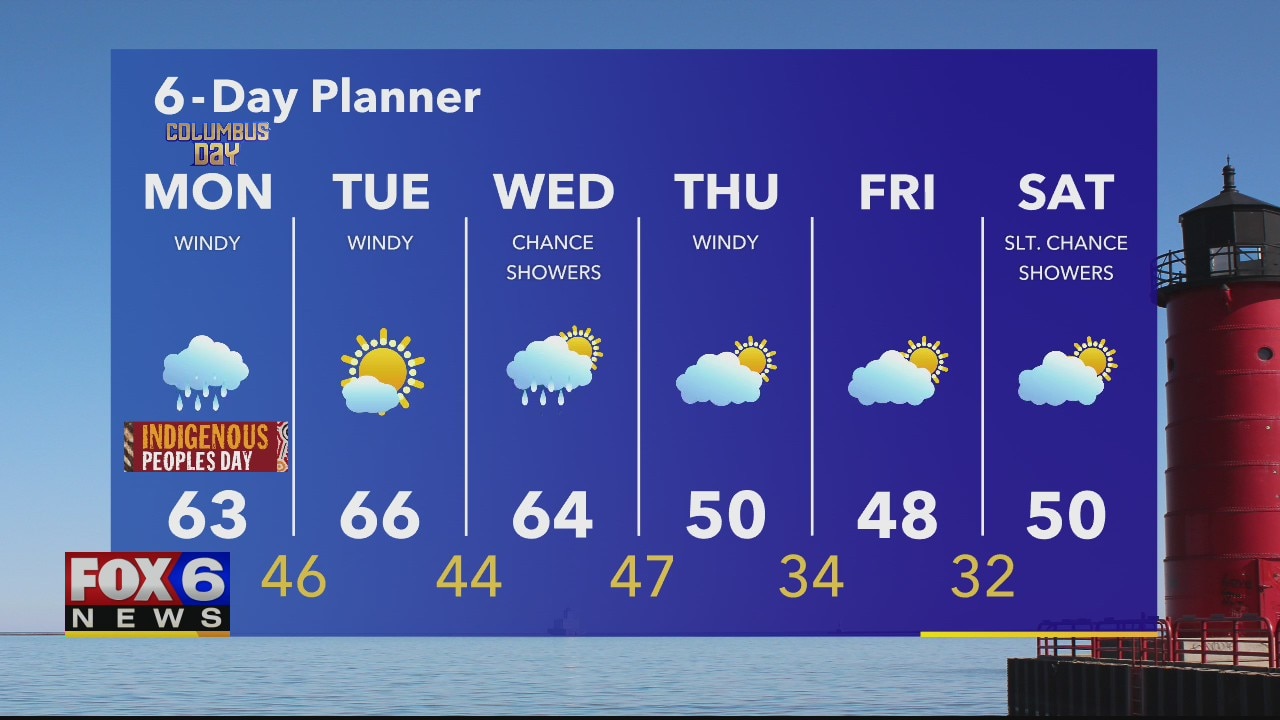
It's a wet one! Grab your umbrella today. Eric times out when we can expect to dry out a bit.
It's a wet one! Grab your umbrella today. Eric times out when we can expect to dry out a bit.
Weather Webcast with Rob Haswell
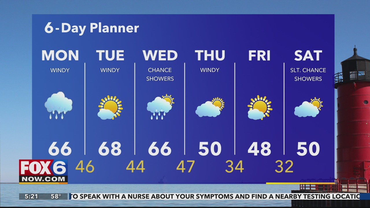
Rain showers likely Monday as we hold on to some warmer temps. Rob times it out for you in his forecast.
Rain showers likely Monday as we hold on to some warmer temps. Rob times it out for you in his forecast.
Weather Webcast with Tom Wachs
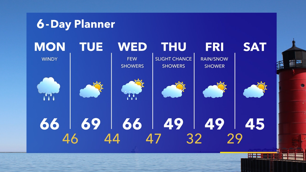
Partly cloudy overnight with steady temperatures in the upper 50s to low 60s. T-Storms move in late morning to midday and move out by mid-afternoon Monday.
Partly cloudy overnight with steady temperatures in the upper 50s to low 60s. T-Storms move in late morning to midday and move out by mid-afternoon Monday.
Weather Webcast with Tom Wachs
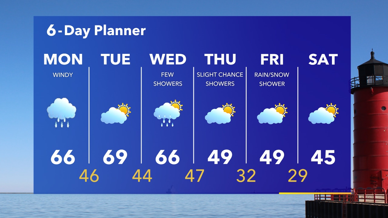
Dry tonight with t-storms moving in on Monday...starting late-morning and ending mid-afternoon. Much cooler late in the week.
Dry tonight with t-storms moving in on Monday...starting late-morning and ending mid-afternoon. Much cooler late in the week.
Weather Webcast with Eric Manges
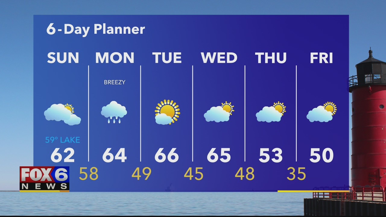
A chance for rain Monday will lead to some of the coolest temps we've had this fall by the weekend.
A chance for rain Monday will lead to some of the coolest temps we've had this fall by the weekend.
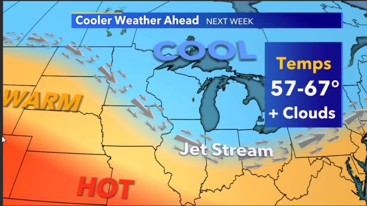
Weather Webcast with A.J. Waterman
More seasonable weather in the forecast on Sunday, but we will see more clouds throughout the day. Rain returns on Monday, with showers and storms in the forecast.
More seasonable weather in the forecast on Sunday, but we will see more clouds throughout the day. Rain returns on Monday, with showers and storms in the forecast.
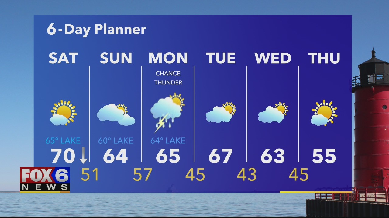
Weather Webcast with Eric Manges
Beautiful Saturday ahead, but storms are possible later this week. Eric times it out for us in his 6-day planner.
Beautiful Saturday ahead, but storms are possible later this week. Eric times it out for us in his 6-day planner.

Weather Webcast with A.J. Waterman
After a nice summer-like day, cooler weather is set to return for the weekend. Rain holds off until Monday, so enjoy the dry weather!
After a nice summer-like day, cooler weather is set to return for the weekend. Rain holds off until Monday, so enjoy the dry weather!
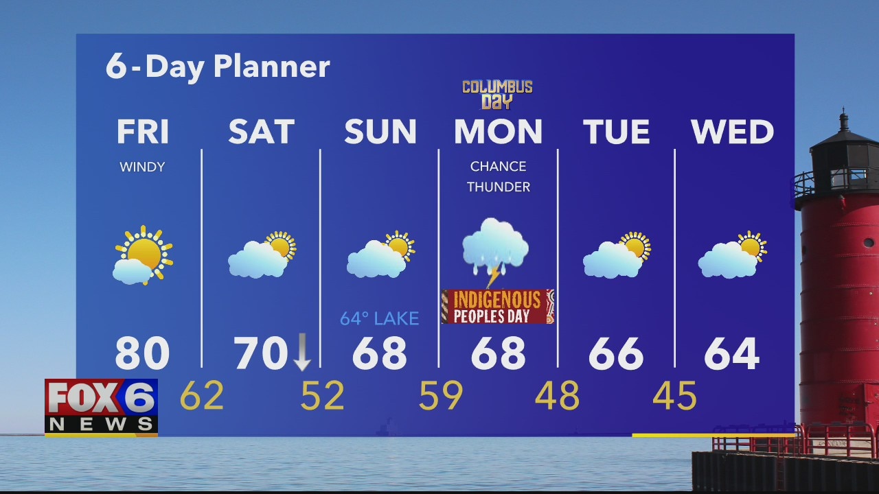
Weather webcast with Rob Haswell
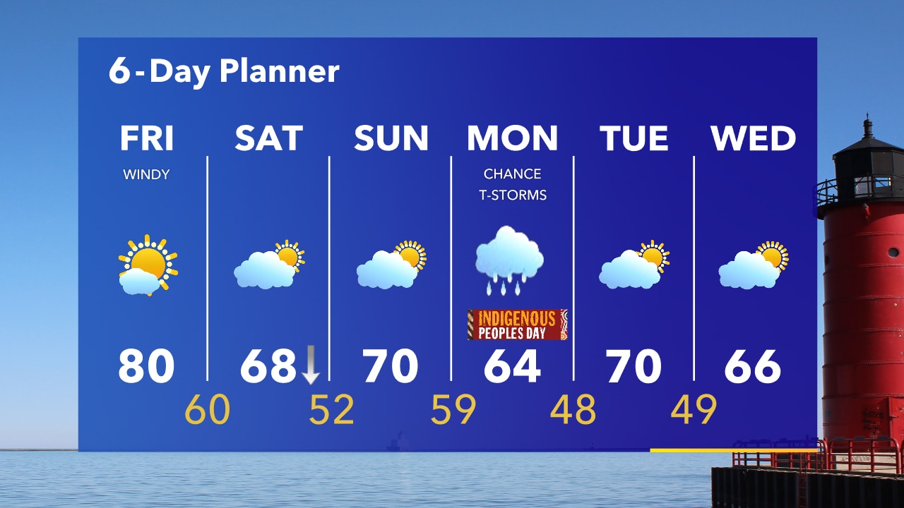
A strong warm front moves north of us today bosting temperatures and bringing a very summer-like day. Mostly sunny with highs in the upper 70s and near 80 today. The trailing cold front will drop temperatures into the upper 60s Saturday and Sunday but we stay dry.
A strong warm front moves north of us today bosting temperatures and bringing a very summer-like day. Mostly sunny with highs in the upper 70s and near 80 today. The trailing cold front will drop temperatures into the upper 60s Saturday and Sunday but we stay dry.
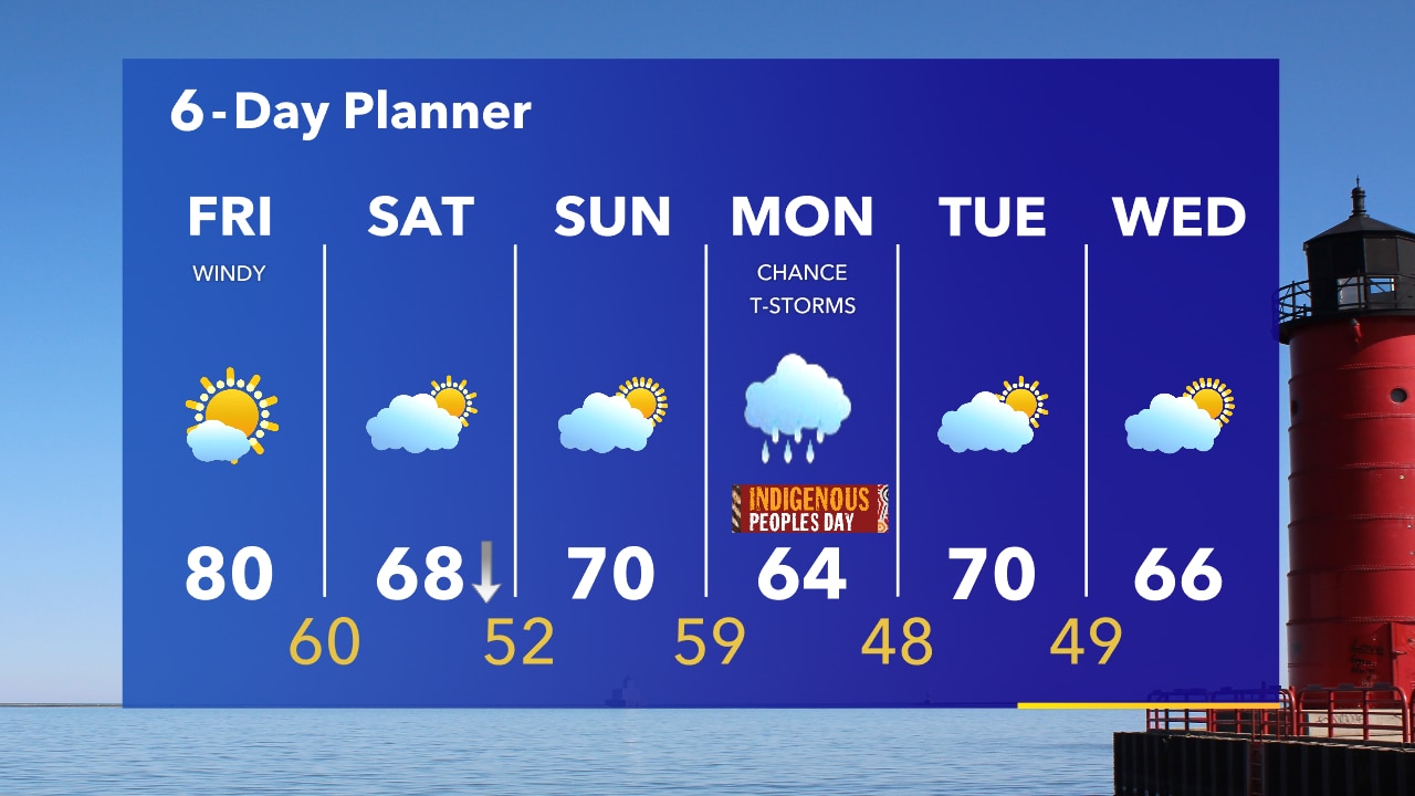
Weather Webcast with Tom Wachs
Chilly overnight with temperatures in the 40s. Friday could be the warmest day of the entire month of October with temperatures around 80.
Chilly overnight with temperatures in the 40s. Friday could be the warmest day of the entire month of October with temperatures around 80.
Weather Webcast with Tom Wachs
The warmest day of the month is on the way tomorrow with a high around 80. Sunshine continues in our forecast as well straight through the weekend.
The warmest day of the month is on the way tomorrow with a high around 80. Sunshine continues in our forecast as well straight through the weekend.
Weather Webcast with Stephanie Barichello
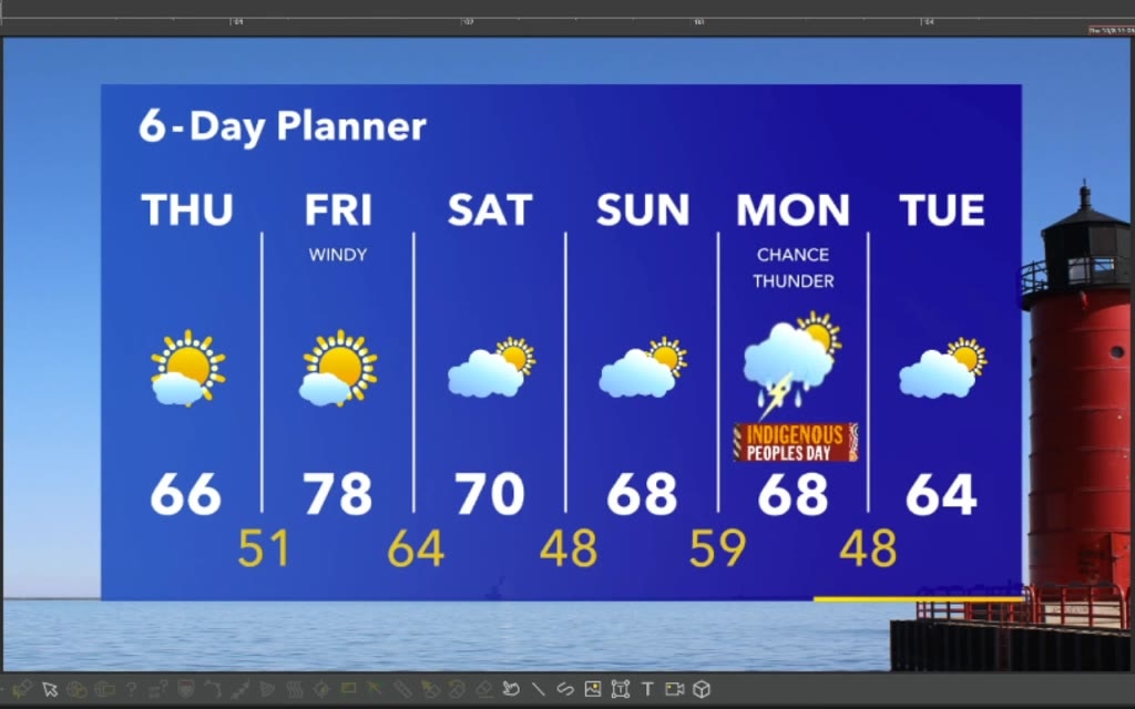
Sunny but a bit cooler this afternoon then a big warm up on Friday!
Sunny but a bit cooler this afternoon then a big warm up on Friday!

Weather webcast with Rob Haswell
High pressure moves over our area today and keeps us sunny and dry. Highs will be in the mid to upper 60s today but a warm front moves in Friday to boost those numbers into the upper 70s. A bit cooler this weekend with highs in the upper 60s and near 70s. We stay sunny and dry through the weekend.
High pressure moves over our area today and keeps us sunny and dry. Highs will be in the mid to upper 60s today but a warm front moves in Friday to boost those numbers into the upper 70s. A bit cooler this weekend with highs in the upper 60s and near 70s. We stay sunny and dry through the weekend.