

Snow slams Colorado, West day after record breaking heat
LOS ANGELES - Parts of the western United States faced a drastic weather whiplash from Monday into Tuesday. Record-breaking heat was replaced with wintry cold temperatures, as a blast of strong winds and cold air moved into Wyoming, Montana, Colorado and Utah.
Winter Weather Advisories and Winter Storm Warnings were in effect for sections of Wyoming, Utah and Colorado as of Tuesday afternoon.
The sharp change from summer to winter-like conditions was one of the most noticeable weather shifts to those who live in Colorado. It’s courtesy of a major cold front that moved into the Front Range on Monday, the easternmost section of the Southern Rocky Mountains.
Precipitation started falling late Monday night in Colorado and is forecast to persist through Tuesday.
The snow and wind hit Steamboat Springs, which is about 110 miles northwest of Denver, according to Steamboat Radio.
According to the National Weather Service Boulder, the main impacts from the winter storm are expected to arrive Tuesday night when heavier snow moves in.
“The best snow will occur above 6,500 feet. That is the Foothills, Palmer Divide, and mountains,” Fox 31 Denver reported. “The Foothills and mountains can expect 6-14 inches or more by noon Wednesday.”
According to Fox 31, the last measurable snow in September in Denver was on Sept. 24, 2000, nearly 20 years ago.
On Tuesday, daytime highs in Denver were only expected to reach the upper 30s. Tuesday night, temperatures in Colorado were expected to drop into the teens to 30s. The early season cold temperatures will bring freeze warnings and freeze watches to sections of Colorado late Tuesday night into Wednesday morning, as temperatures drop drastically.
At 9:30 MDT Tuesday, NWS Boulder reported its observation from above Berthoud Pass at 12 degrees F, with a southeast wind gusting to 38 mph, and a wind chill of -8 degrees F.
Parts of Wyoming also accumulated several inches of snow after the snowstorm hit the area on Monday.
The National Weather Service said a range of two to 17 inches of snow fell in Natrona County over the past day.
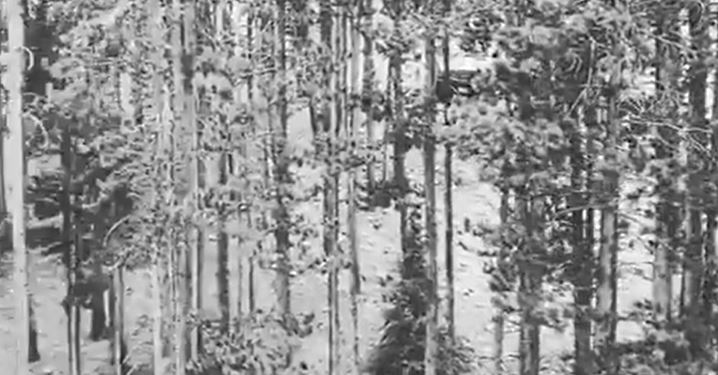
Larry D. Curtis captured a video of snow-dusted trees at Yellowstone National Park.
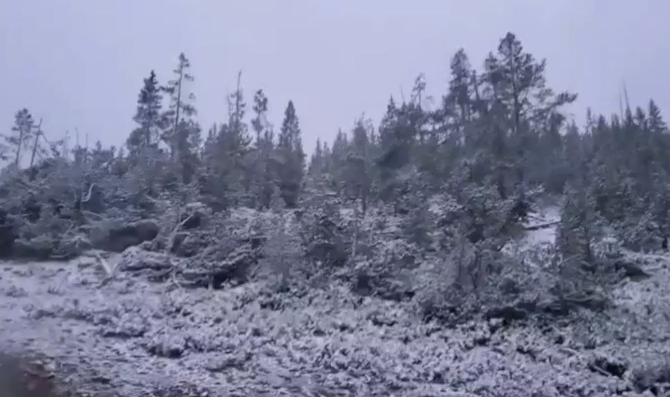
Yellowstone closed the park’s east entrance on Monday due to winter weather conditions.
“At this point, there is no reopening date and time available,” the Big Horn Radio Network said.
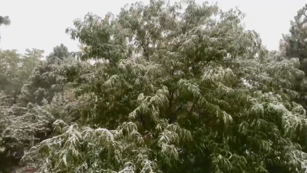
Troy Edwards, a resident of Casper, Wyoming, shared video of snow accumulating in the back yard of his home.“I got some work to do this week…looks like I’m done with snow. Moving somewhere warm,” Edwards said on Twitter of his snow-covered yard.

September is typically the time of year when snow begins to develop in the Rocky Mountains, but the western region’s early-season winter storm is unusual, especially after some areas recently endured highs in the 100s.
The weather whiplash developed on the heels of record and near-record hot days across the West. On Saturday, Denver reached a daytime high temperature of 101 degrees, breaking the high-temperature record for Sept. 5.
Storyful contributed to this article.