

Wisconsin record November warm stretch comes to a sudden end
What has been a historic start to November, where southeast Wisconsin set record highs almost every other day, has now been met with the humble reality of what November should be like.
Severe weather on Tuesday, Nov. 10 was a product of a cold front rushing in seasonable conditions behind it. Average temperatures are back and that means goodbye to the beloved 70s and hello to ever-decreasing highs through February.
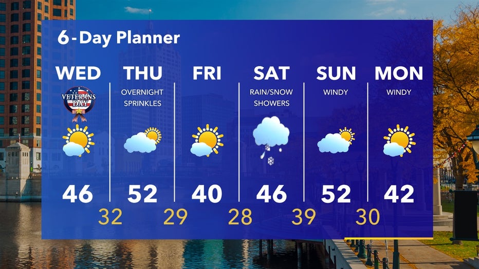
6-Day Planner Nov. 11-16
Between November 11-16 our average high goes from 49˚F to 46˚F -- which just goes to show how big of a transition month November really is and not typically one full of 70˚F+ weather. The forecast generally stays within the expected range of November with a few peaks and valleys of small temperature swings.
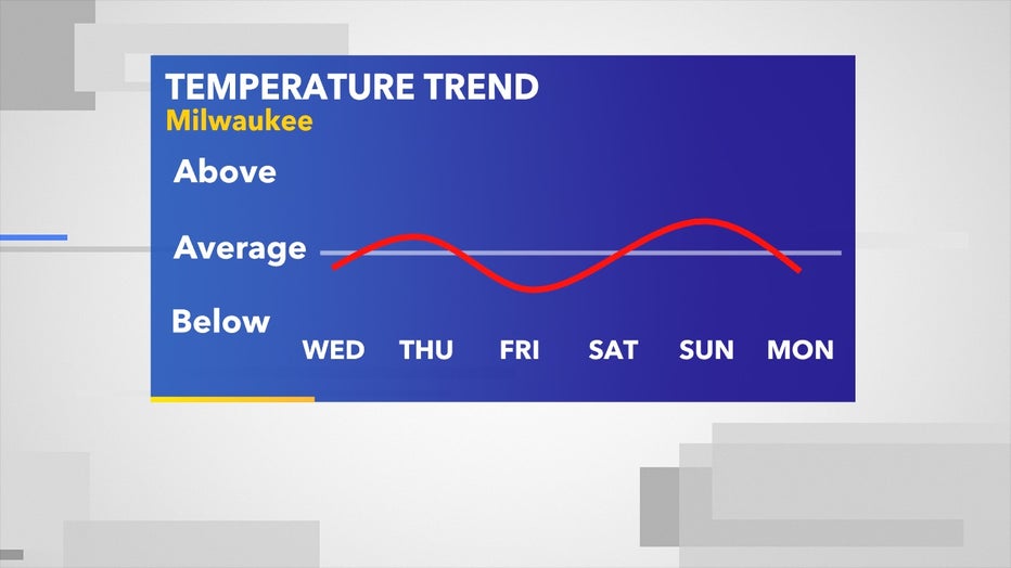
Nov. 11-16 temperature forecast as it relates to climate averages
Our next big milestone to look out for will be single-digit temperatures that can often plunge into Wisconsin in late fall. As of now, that coldest arctic air is locked up north of Montana but over the next coming weeks, we're sure to get a few chances to have this cold airmass flirt with our border.
We hope you enjoyed the warm weather while it lasted because likely we won't see another 70˚F day again until spring.
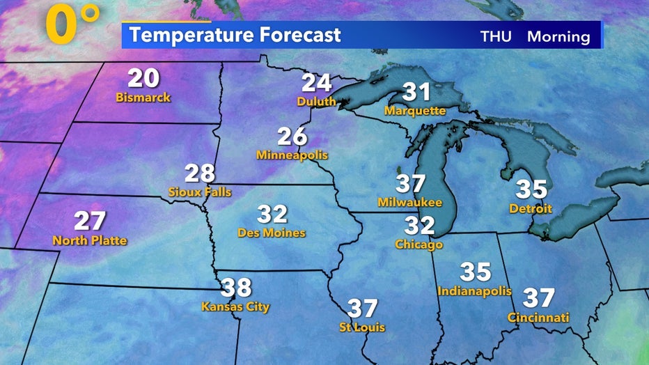
Morning lows for Thursday, Nov. 12