

The silly season of winter prediction
We are finally getting out of what I call the "silly season" of winter prediction. The season begins in September when The Old Farmers' Almanac and the Farmer's Almanac come out with their winter forecast. Then NOAA's Climate Prediction Center publishes their official winter forecast. Add to that various private forecasting companies and television stations' winter forecasts and you have quite a hodge podge to choose from.
While I admire anybody who attempts to scientifically assemble a seasonal forecast, in reality it cannot be done. The reason? The atmosphere is too dynamic and changeable to foresee the future out to 90 days and beyond.
Credibility really breaks down when the seasonal forecasters attempt to name specific dates for winter events. The Old Farmers' Almanac is famous for detailed daily year-long forecasts. Really? It's going to rain next April 12? How can you possibly know this?
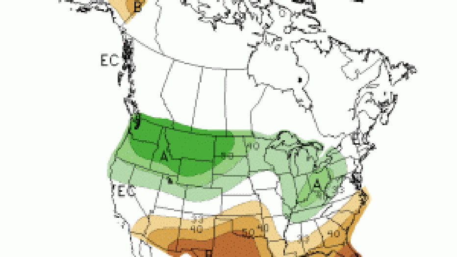
A driving factor into the winter forecast is La Nina. Most of you have heard of this periodic atmospheric phenomenon. It is an abnormal cooling of the equatorial Pacific sea surface temperature, helping to produce a rather distinct upper atmospheric pattern across North America. One of those patterns is a trough, or dip, in the upper air flow over the central U.S., producing a storm track that carries surface low-pressure from the southern Plains into the central and eastern Great Lakes. If the storm track is 100 to 200 miles farther west, which happens occasionally, we can get a lot of snow in southeast Wisconsin.
For meteorologists who understand the vagaries of the atmosphere, predicting when a low-pressure will form let alone knowing it's exact storm track is not something that can be determined weeks and months in advance.
There are other things that influence our winter weather and the upper air flow pattern. The North Atlantic Oscillation (NAO) measures the changes in pressure between low pressure over Iceland and high pressure over the Azores (off the northwest coast of Africa). There is also the Pacific Decadal Oscillation (PDO), a feature that influences the flow of winds and sea surface temperatures in the northern Pacific Ocean.
So many variables, so many ways to influence the steering currents across the country. Anytime you hear a winter forecast, especially one that predicts snowfall amounts and dates of future winter storms, take it with a large grain of salt. And yes, that might be road salt!