

Rain, snow likely Friday; temps to hover above freezing
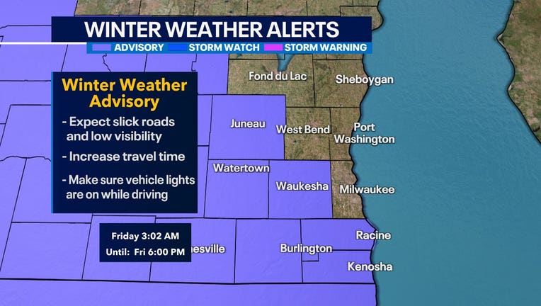
MILWAUKEE - A winter weather advisory is in effect for parts of southeast Wisconsin until 6 p.m. Friday, Dec. 9.
What makes this system unique is how warm we'll be. Temperatures will hover above freezing at the surface, making it extra hard for areas near the lake to hold onto snowfall accumulation.
As of now, the highest totals are between 2-4" to the SW with isolated amounts being greater. Much of southeast Wisconsin will see between a trace and three inches of wet and sloppy snow.
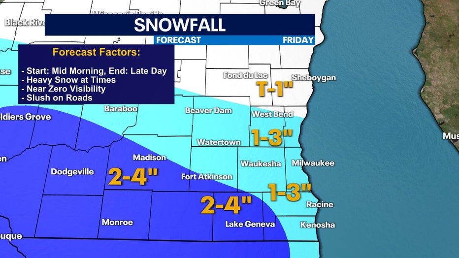
Updated snowfall forecast for Friday, Dec. 8
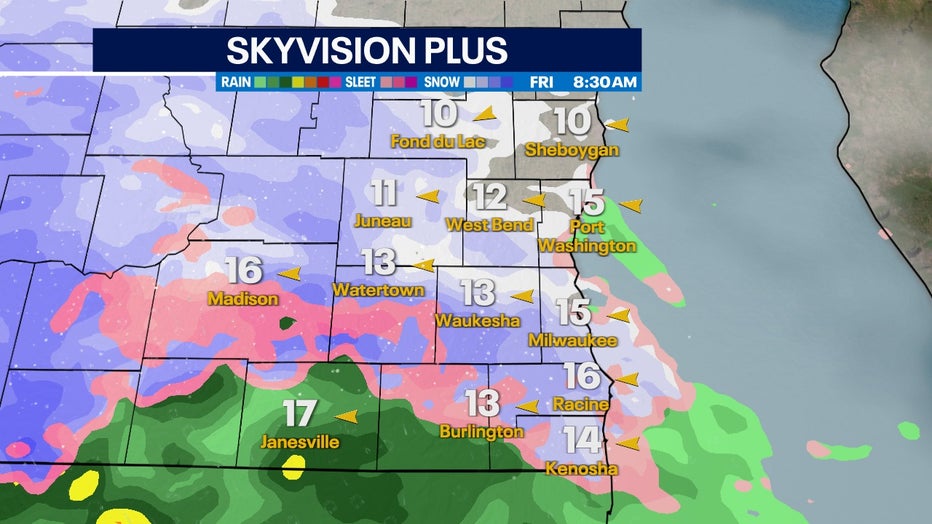
Skyvision Plus for Friday morning, Dec. 9
Precipitation begins moving in and becoming widespread Friday morning, Dec. 9, and will continue throughout the day. The freezing line will ebb and flow along the state border giving us all kinds of precip types. Sleet, rain, and snow will be possible in the region at this time.
Friday afternoon, Dec. 8 most models are in agreement that snow will become more widespread as the rate of snowfall increases faster than the snow can melt into rain. If we see accumulation near the lake, timing-wise, this is our best shot.
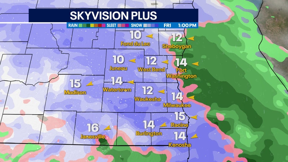
Skyvision Plus for Friday afternoon, Dec. 9
By Friday evening, temperatures increase to the point where just about everyone switches over to sleet and rain. Slushy snow that did accumulate will melt fast as temperatures stay above freezing.
This won't be a great system to take the kids sledding afterward.
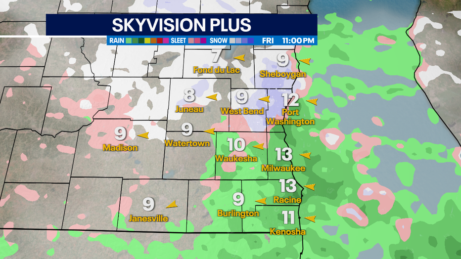
Skyvision Plus for Friday night, Dec. 9