

Severe weather possible midweek in Wisconsin
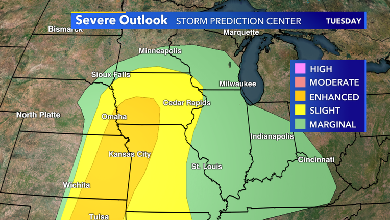
Milwaukee - A strong low pressure system will develop to our west during the midweek, bringing snow for parts of the Dakotas, while producing strong thunderstorms across parts of the Midwest.
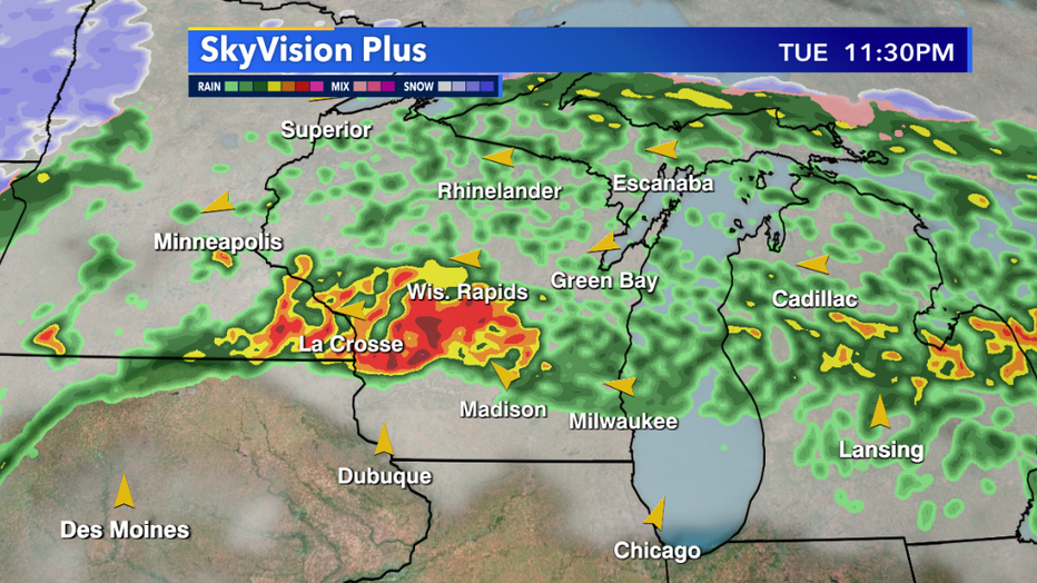
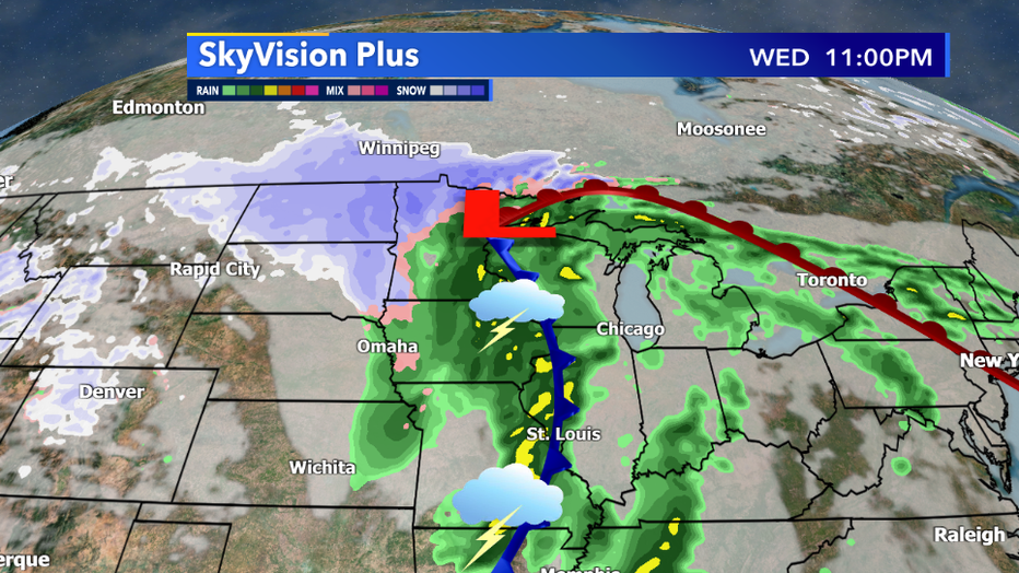
There will be two rounds of strong storms, one along a warm front Tuesday night and another round with a cold front passing through the area Wednesday afternoon.
Although it is too early to determine specifics, but medium to large hail is a possibility as well as damaging wind in excess of 60mph. As for tornado potential, that threat seems to remain just to our south, but we'll be keeping a close eye on the storm system as we head through the work week and have the latest information.
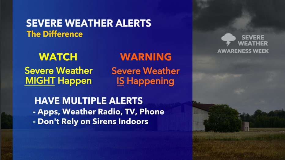
Stay up to date with the latest forecast by downloading the FOX6 Storm Center App and tuning in for the latest forecast on on-air and online on FOX6 News.