

Milwaukee DPW seeks input on interactive bicycling map
MILWAUKEE - The City of Milwaukee Department of Public Works (DPW) is seeking the public's input on an interactive bicycling map.
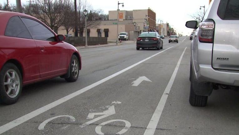
The map is designed to provide information via phone or computer about low-stress and high-stress areas to ride and other bike-related information, such as bike parking locations.
Each city street on the map has a rating between one and four -- one being the lowest stress, four being the highest -- based on factors like the number of cars that drive or whether there's a bike lane on a certain stretch of roadway.
Users can pick what level of stress they are comfortable with and get directions for routes with that level.
The DPW is looking for feedback to improve the map. It is available in both English and Spanish at the links below:
- English: surveymonkey.com/r/MKE_Bike_Map_ENG
- Espanol: surveymonkey.com/r/MKE_Bike_Map_ESP
To view the map, visit CLICK HERE.
FREE DOWNLOAD: Get breaking news alerts in the FOX6 News app for iOS or Android.

Born without a right hand, man empowers others through exercise
Alex Dages was born without a fully-formed right hand. It doesn't slow him down, and the hook he's used for years helps him handle heavy weights and pull up his body with power.