

Southeast Wisconsin: Smoke to strong storms in the forecast
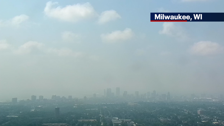
MILWAUKEE - Wisconsin received another large swath of thick surface wildfire smoke that moved in over the weekend. Due to this, the Wisconsin Department of Natural Resources issued an air quality alert until noon on Monday, July 20th.
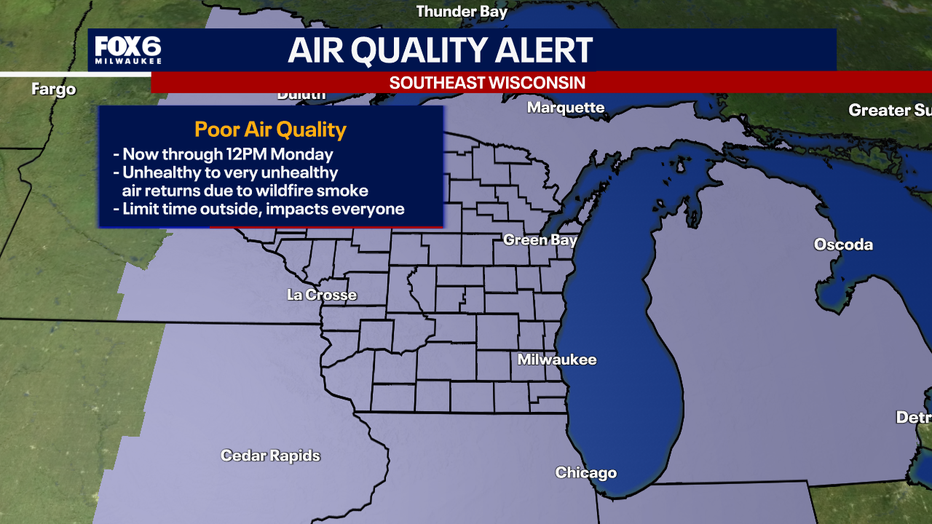
Will the smoke go away?
Timeline:
Surface smoke will continue to move out into Monday as winds begin to shift directions out of the southwest. This will improve air quality across the state. However, fires still continue to burn in Canada, producing more smoke north of Wisconsin. Heading into Tuesday and Wednesday, it is possible to have another round of lighter surface smoke return as a cold front and high pressure system can bring smoke from Canada with it.
Severe storms possible Monday
What we know:
After the smoke moves out, we then have to flip the switch and monitor for severe storms on Monday afternoon and evening.
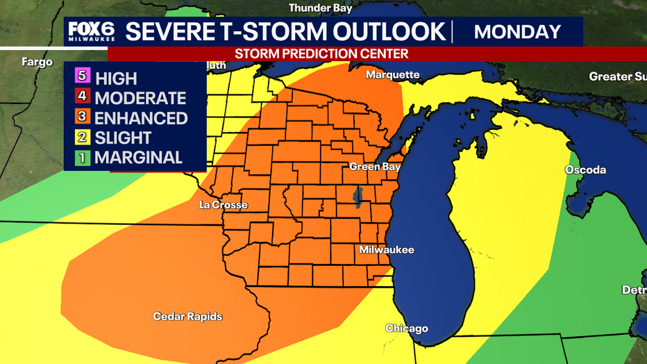
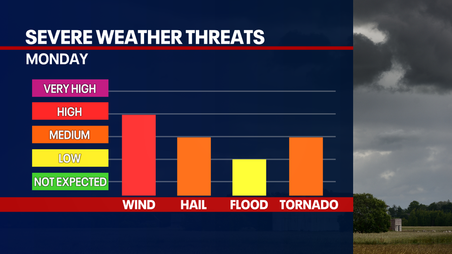
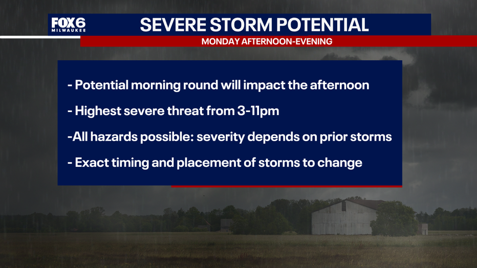
There is still uncertainty in the forecast about when and where storms can develop, since it will depend on atmospheric conditions. However, if a supercell or storm complex can form, all hazards are possible.
Peak timing for storms to brew will be from 3PM to 11PM. The location and severity will depend on if non-severe rain/storms move in late Monday morning. Less activity earlier in the day, the higher the risk is for severe storms in the afternoon. More activity earlier in the day, this will lower the risk for severe storms in the afternoon.
Storms can form as a supercell and/or storm complexes that push through in the afternoon and evening.
Be weather aware today. The FOX6 Weather Experts will have you covered!
The Source: The information in this post was provided by the FOX 6 Weather Experts; NWS Sullivan; and the Wisconsin DNR.