Weather Webcast with Stephanie Barichello
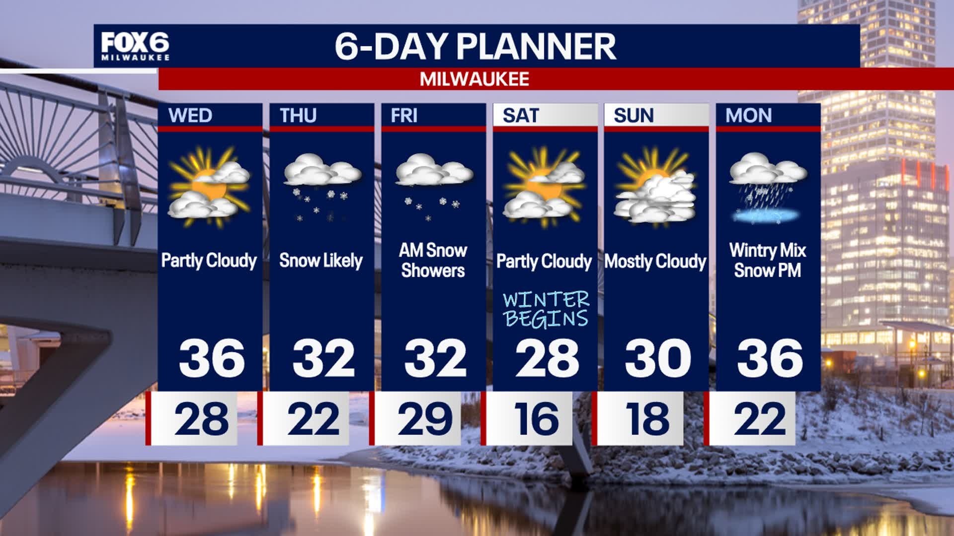
All eyes on snow potential on Thursday. Light snow moves in by mid-morning Thursday then ramps up Thursday afternoon and evening into Friday morning. Highest impacts and messiest travel will be Thursday evening into Friday morning. Most looking at 2-4" at this time, with higher amounts possible north where a Winter Storm Watch is in effect. There could be lake enhancement Thursday night leading to higher snowfall rates and totals across Fond du Lac, Sheboygan and even Ozaukee Co. Stay tuned. Sunshine returns Friday afternoon.
Top Videos
Weather Webcast with Stephanie Barichello

9-year-old killed in Milwaukee; family seeks justice

Milwaukee drive-by shooting near 27th and Atkinson caught on video

Lake Geneva boat accident victims officially identified
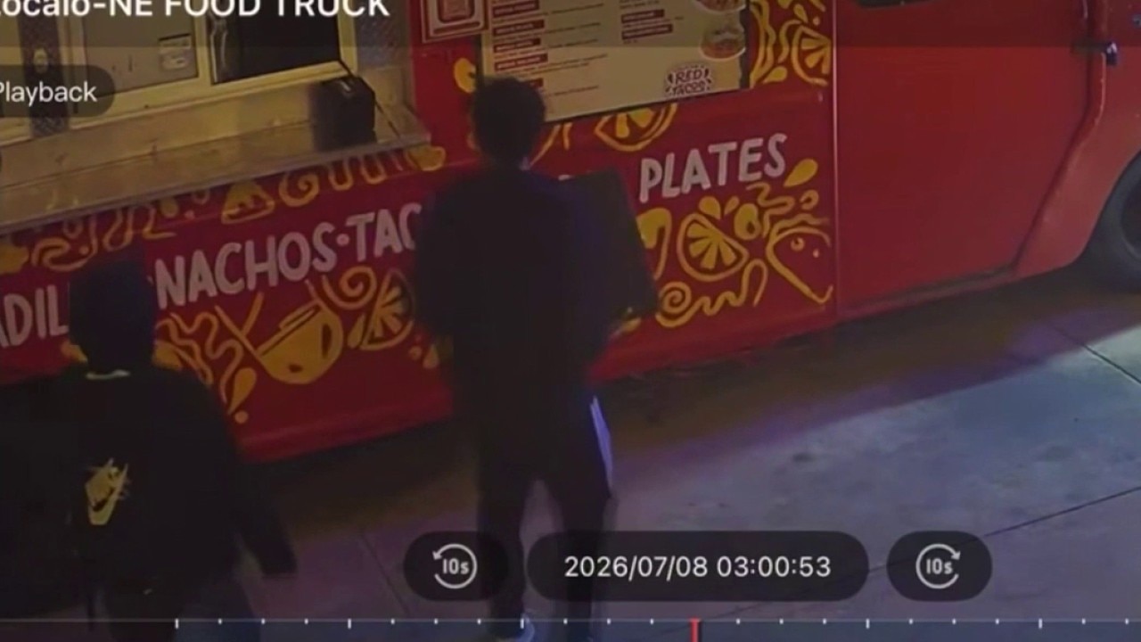
Milwaukee food truck break-ins at Zocalo Food Park
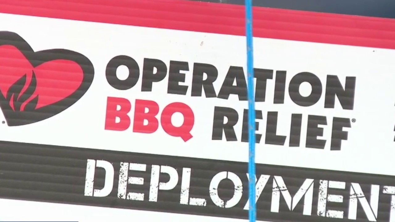
Walworth County cleanup continues, 'Operation BBQ Relief' on hand
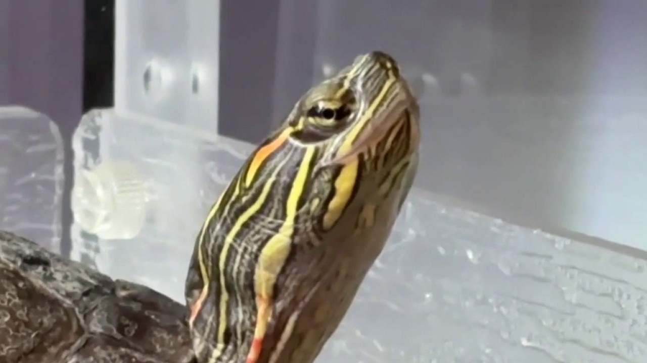
Oconomowoc wildlife center animal patient intake increases
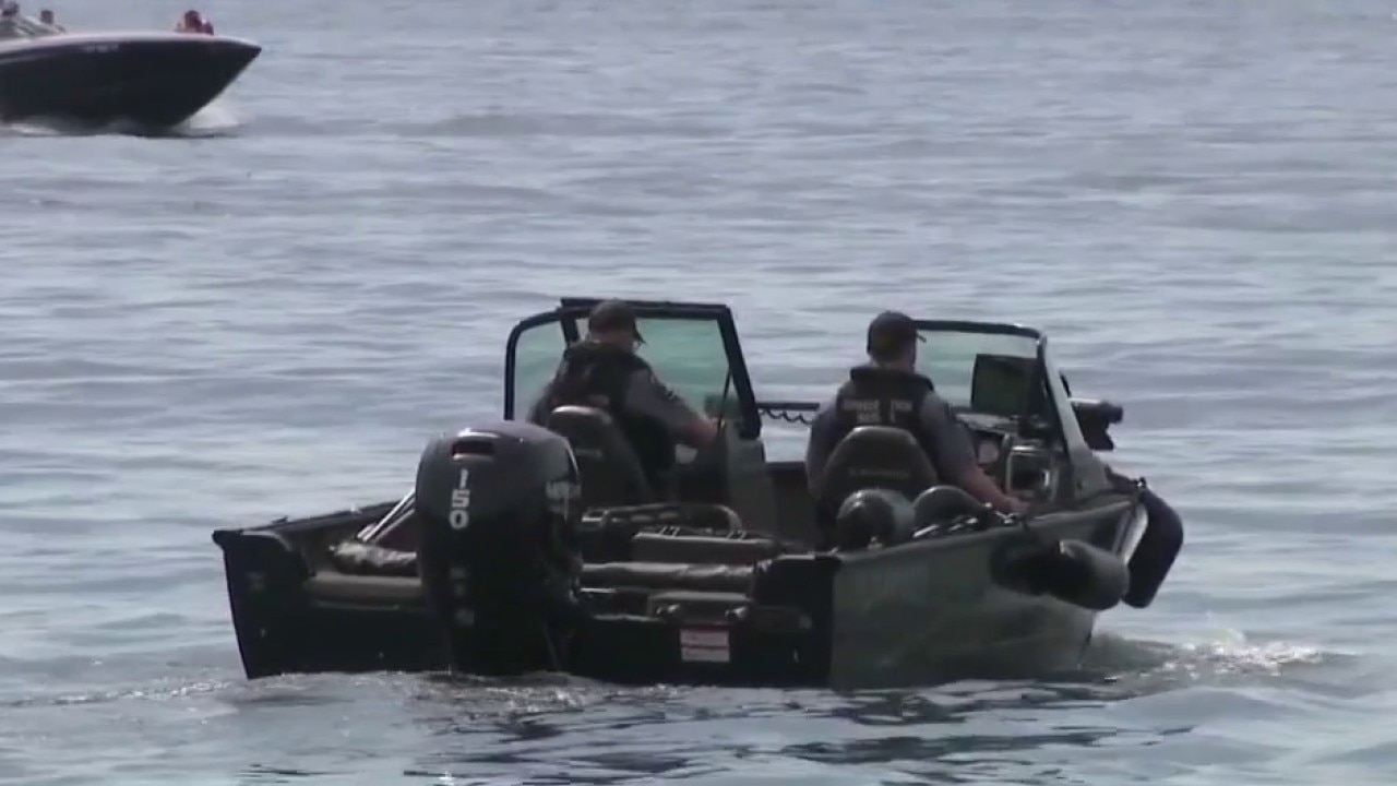
2 of 3 children who died in Geneva Lake boating accident identified
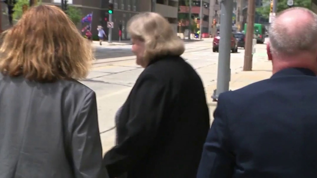
Former Judge Dugan avoids prison
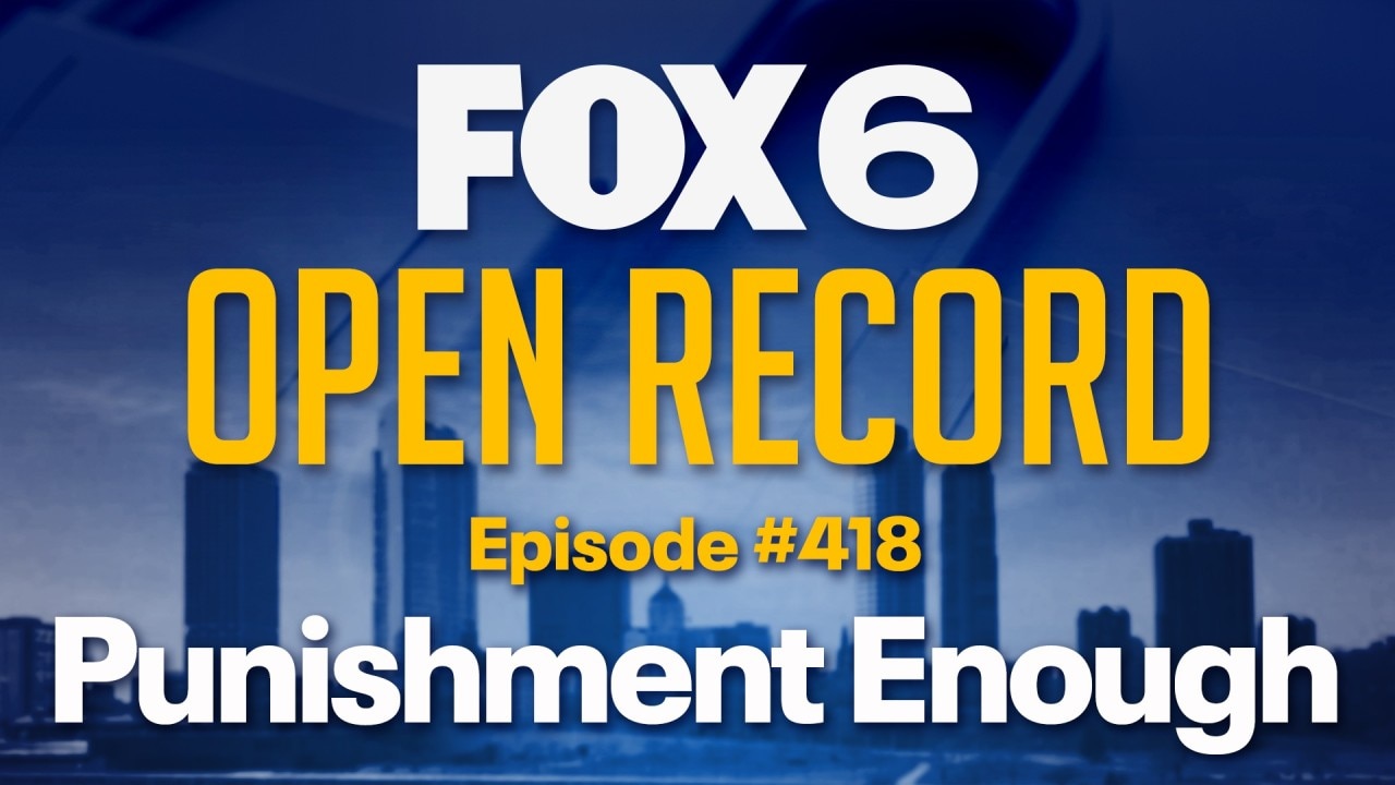
Open Record: Punishment Enough
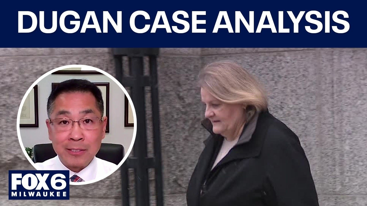
Instant analysis: Dugan avoids jail time
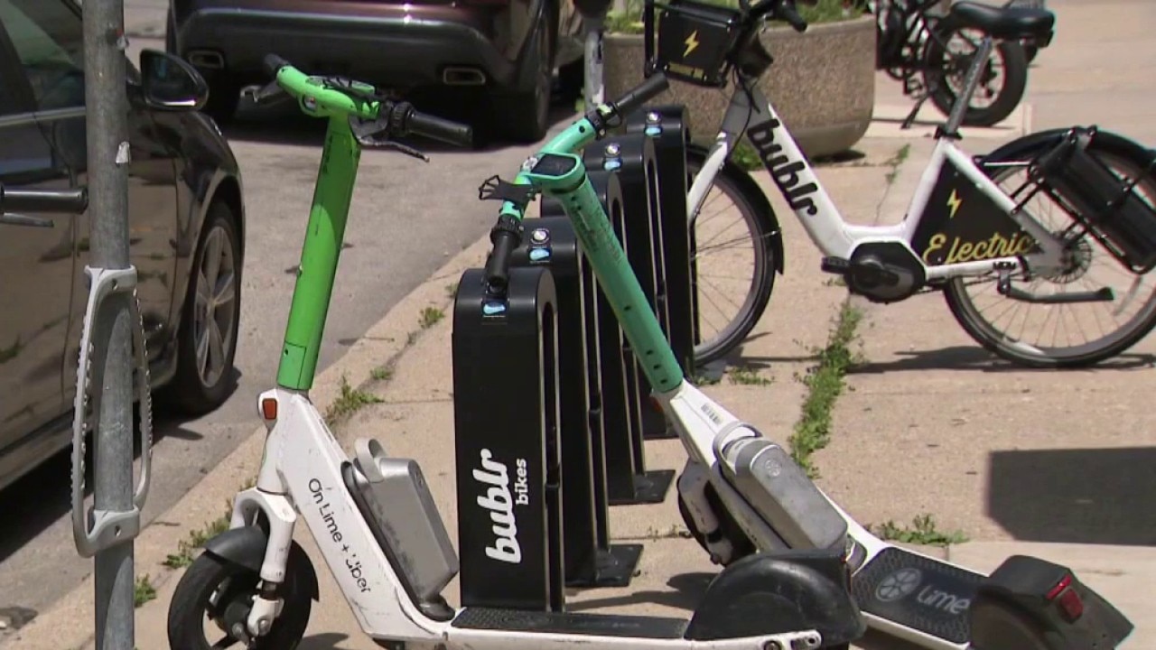
E-scooter injuries approach record highs
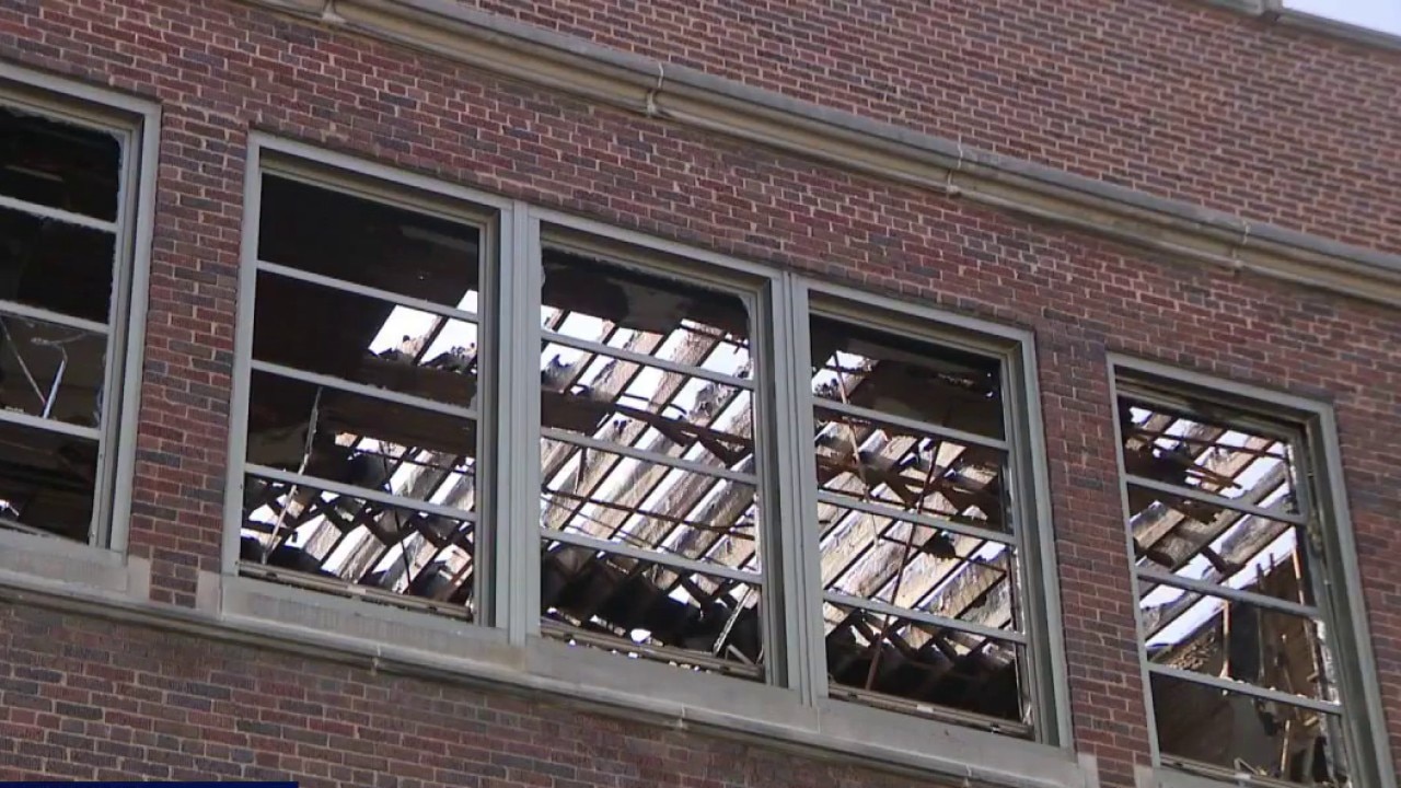
Milwaukee’s Lincoln Avenue School fire; virtual meeting for families

Self-deported MPS teacher's aide returns to Milwaukee
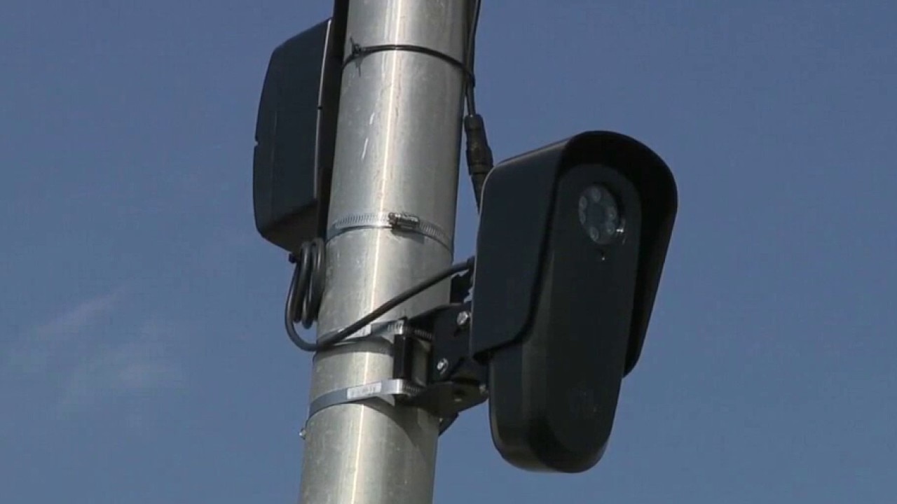
Milwaukee detective accused of Flock misuse
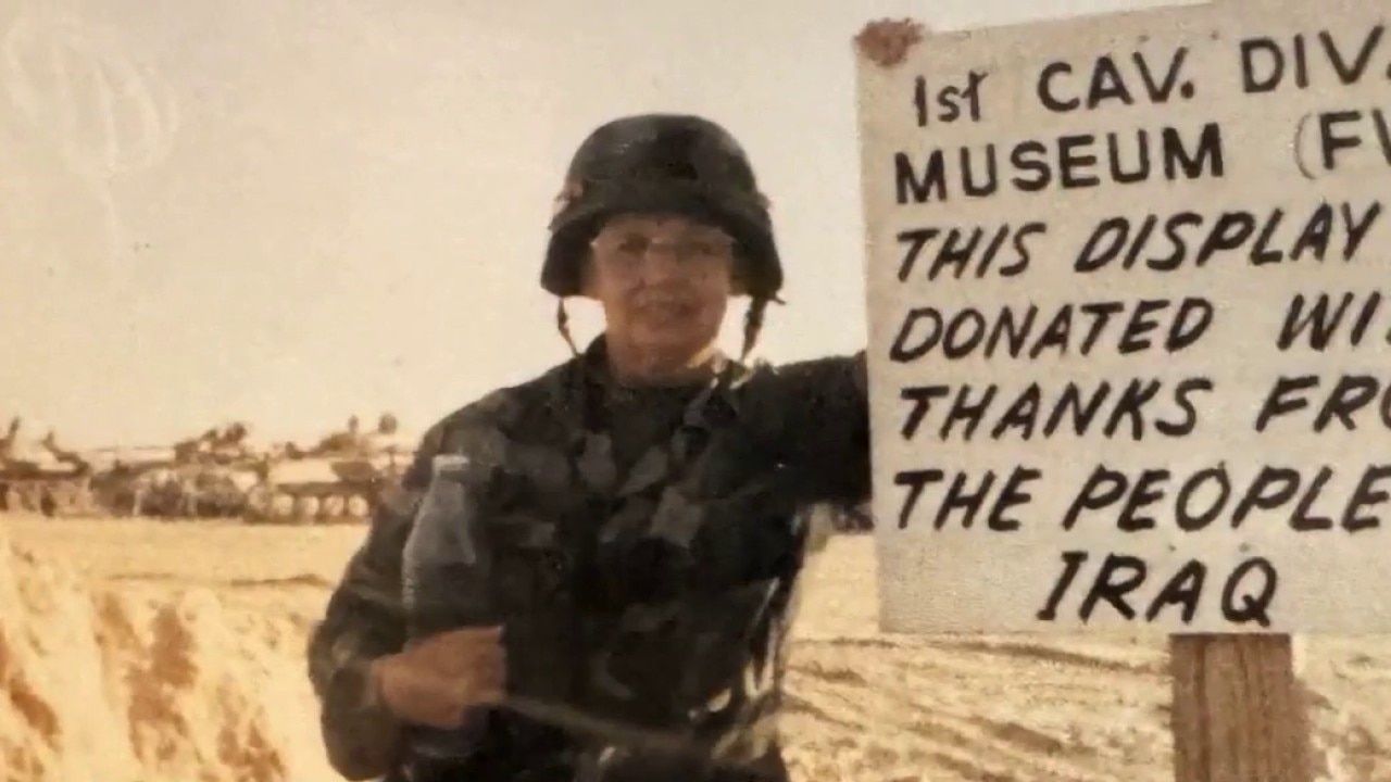
Military Women's Memorial: Wisconsin veterans stories kept alive
Concerns about Flock system misuse
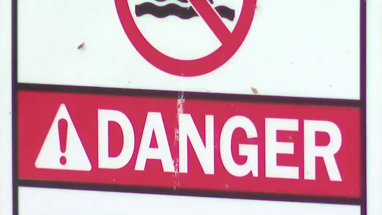
Racine water rescue, 62-year-old victim in critical condition
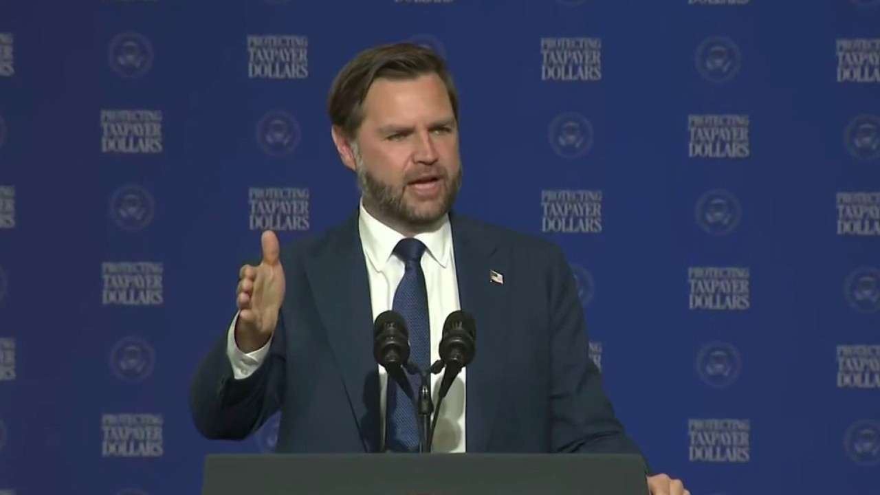
Vance touts work on fraud, Democrats critical
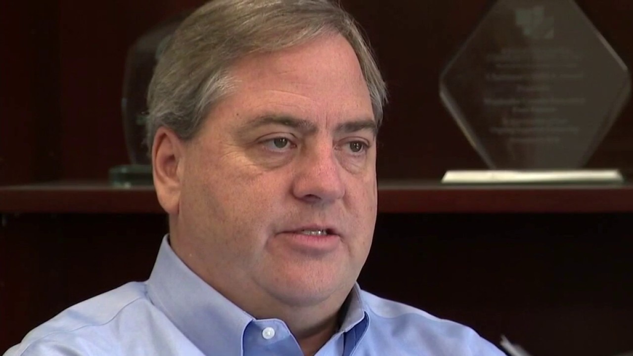
Waukesha County Executive Paul Farrow passes away at 61
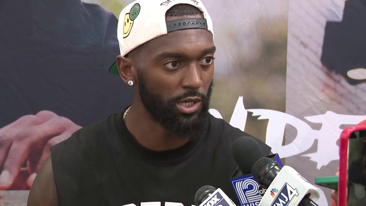
Bobby Portis Milwaukee pop-up event

Wisconsin's Most Wanted for June 2026 | FOX6 News Milwaukee

Full: Vance in Milwaukee
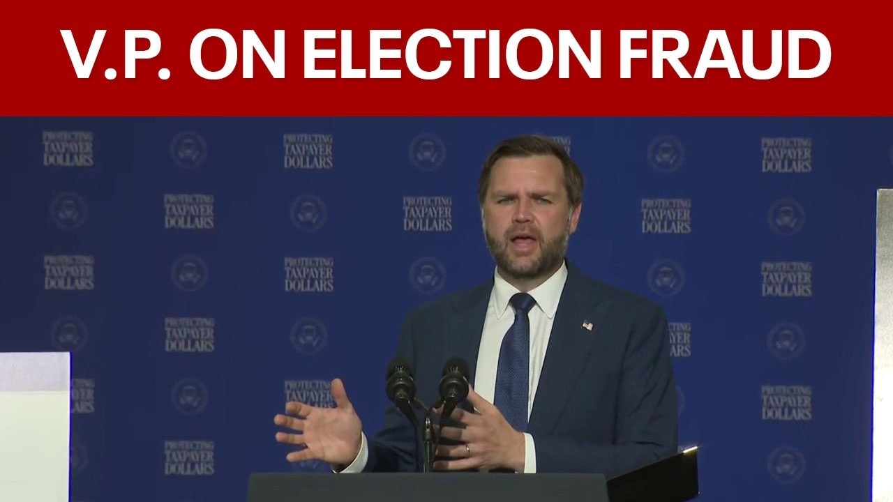
Vance in Milwaukee: Election fraud, voter ID
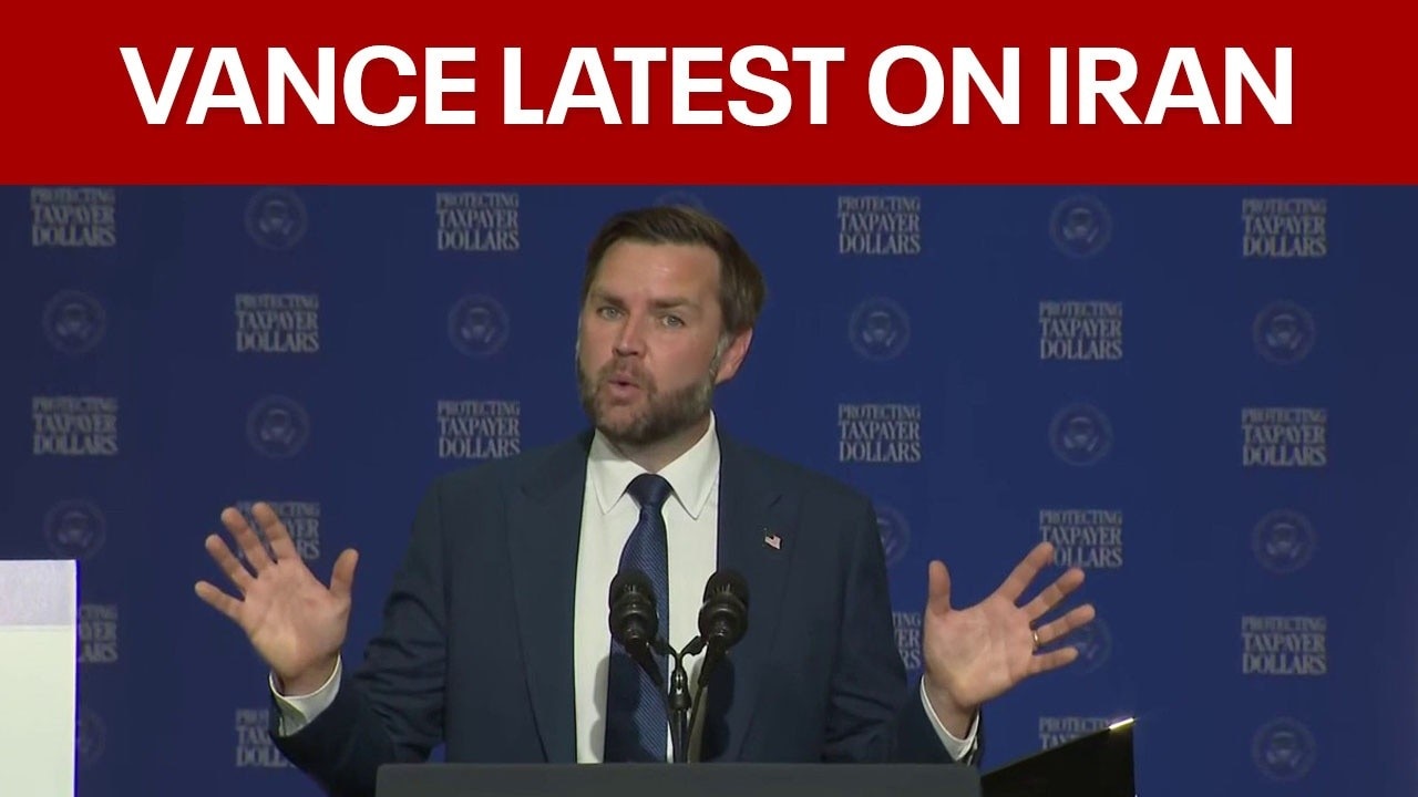
Vance in Milwaukee: Iran War, Strait of Hormuz