

Southeast Wisconsin stormy weather pattern returns
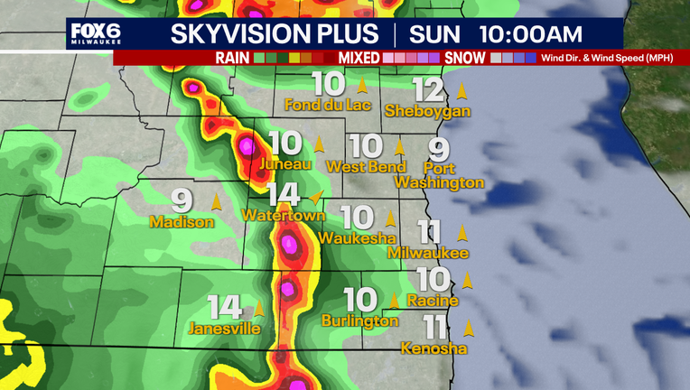
MILWAUKEE - Summer storms are here again with chances of a few strong to severe storms on Sunday, Aug. 9 and Monday, Aug. 10.
Severe outlook
What we know:
The Storm Prediction Center has issued southeast Wisconsin under a marginal and slight risk for storms wrapping up the weekend and heading into the week ahead.
Storm timing
What we don't know:
There is still uncertainty about the exact timing and location storms will erupt, but the thought is a potential strong line could move in during the late morning hours on Sunday with another possible afternoon and evening round(s) too.
Activity will depend on where a frontal boundary will sit and what each round does to the atmospheric environment.
Storm Impacts
Local perspective:
Locally in southeast Wisconsin, storms are favorable to bring gusty winds and heavy rain that can lead to flooding. The overall hail and tornado threat is low, but not zero. With a frontal boundary wobbling near the Wisconsin-Illinois border, this will favor stronger storms in this region.
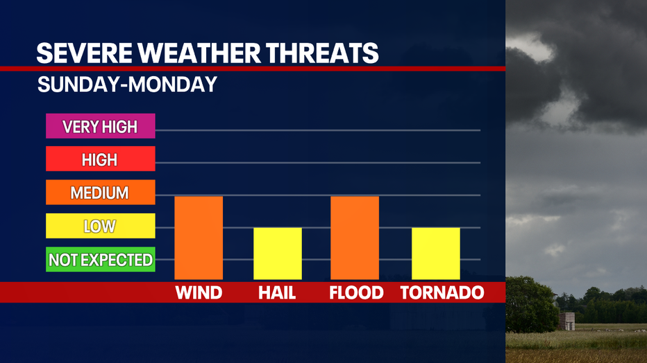
With high moisture content in the atmosphere, storms can be a soaker! The potential for multiple rounds of heavy rain heightens the threat for localized flooding. The higher risk will be on Sunday with a slight risk across southeast Wisconsin and a marginal on Monday.
The week ahead
Big picture view:
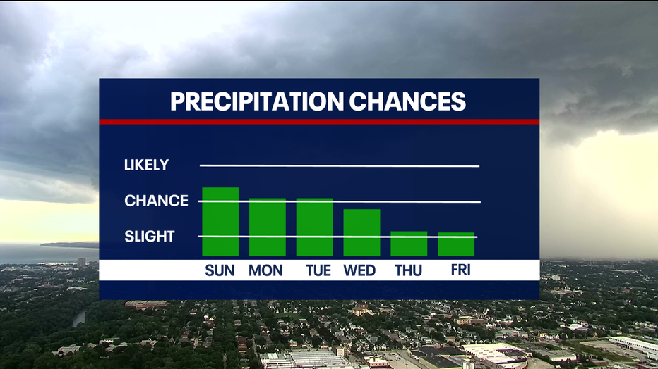
Consecutive days of rain and storms are in the forecast from Sunday through Wednesday, Aug. 12. What is causing this pattern and long duration of storms?
It has to do with blocking high pressure that typically happens in the summer. This high pressure will keep hot conditions in the southern United States. The high keeps the jet stream in the northern United States, which will allow rain and storms to come through Wisconsin until the pattern breaks.
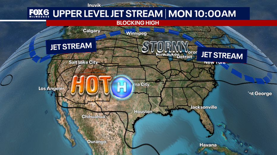
This blocking pattern may not break until the end of next weekend, and even then, another one looks to develop again. This could lead to an unsettling pattern for the weeks ahead.
The Recap
Weather Summary:
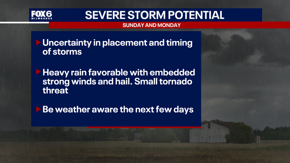
Strong to severe storms with heavy rain will be moving in on Sunday with the exact timing and placement of storms still to be determined due to where a frontal boundary sits. Heavy rain will be the main threat that can cause localized flooding. It will be important to stay weather aware this weekend and throughout the upcoming week.
The Source: This story was produced in Milwaukee. Information is from the FOX6 Weather Experts.