Weather Webcast With Lisa Michaels
An area of high pressure to our east helps with a strong southerly flow of very warm air for the next few days. Temperatures will warm into the upper 70s and low 80s for the next three days. Potential record high temps can occur. A cold front arrives late Friday into Saturday. Ahead of that front we will see rain and a chance for thunderstorms. Behind the front, we cool down. We return to more seasonal temperatures in the low 50s next week.
Top Videos
Weather Webcast With Lisa Michaels
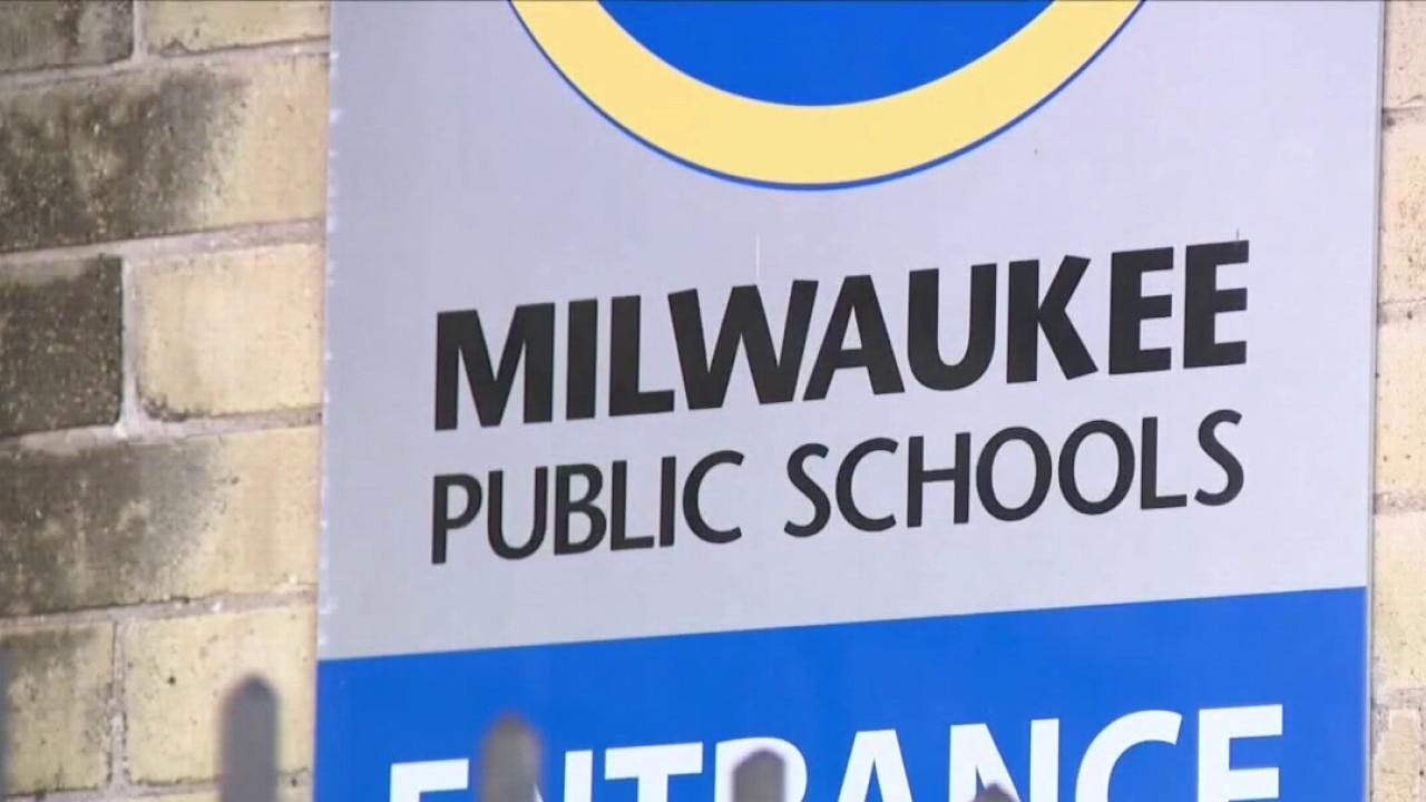
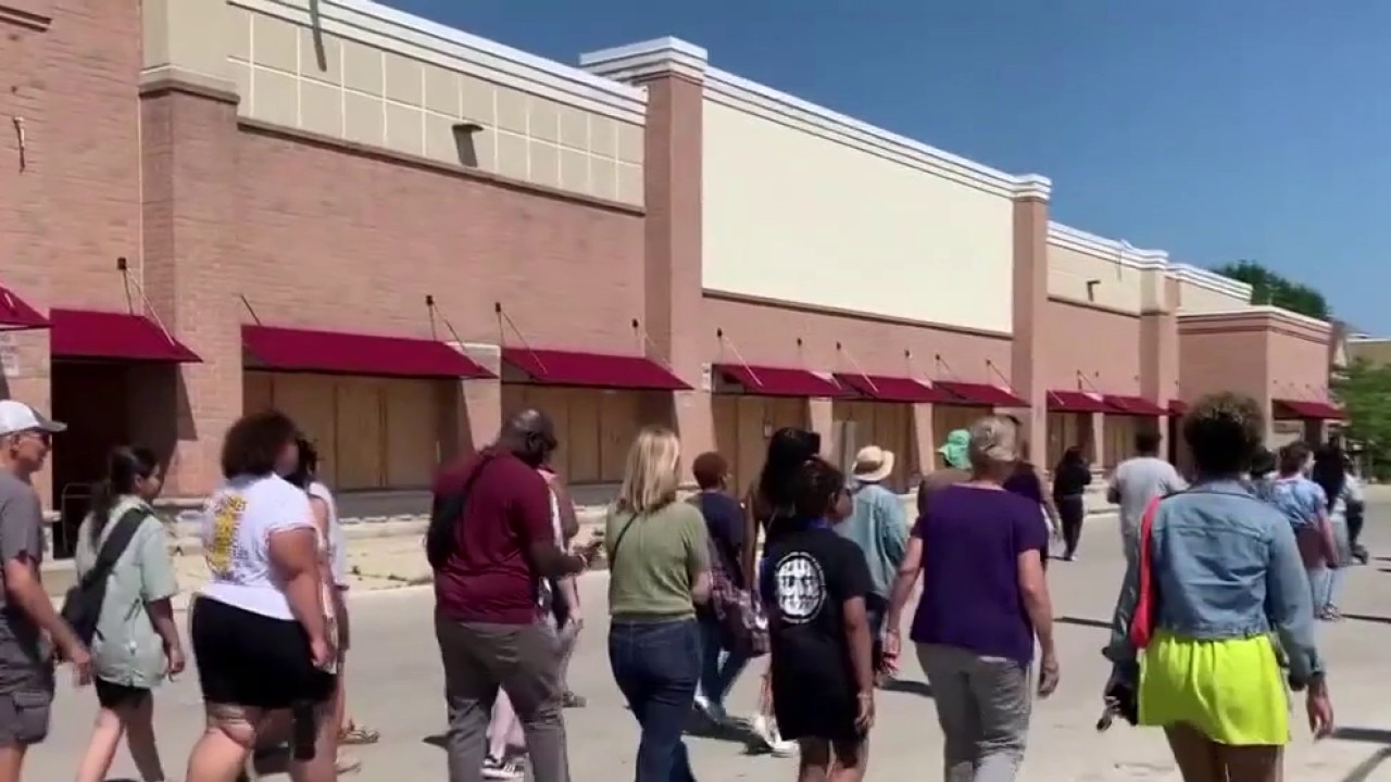
MPS closes sites due to high heat

Elbow Room 'Sand Bar' set up for World Cup

Milwaukee hit-and-run; 2 women killed, police seek driver
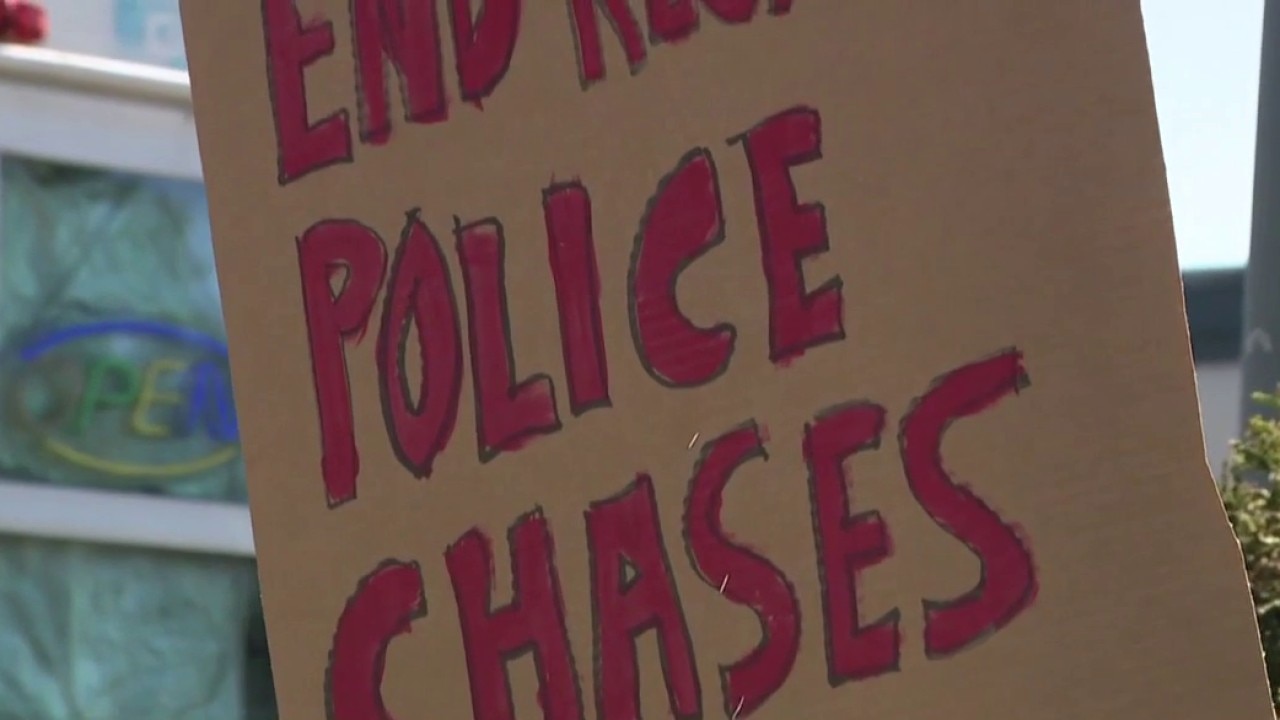
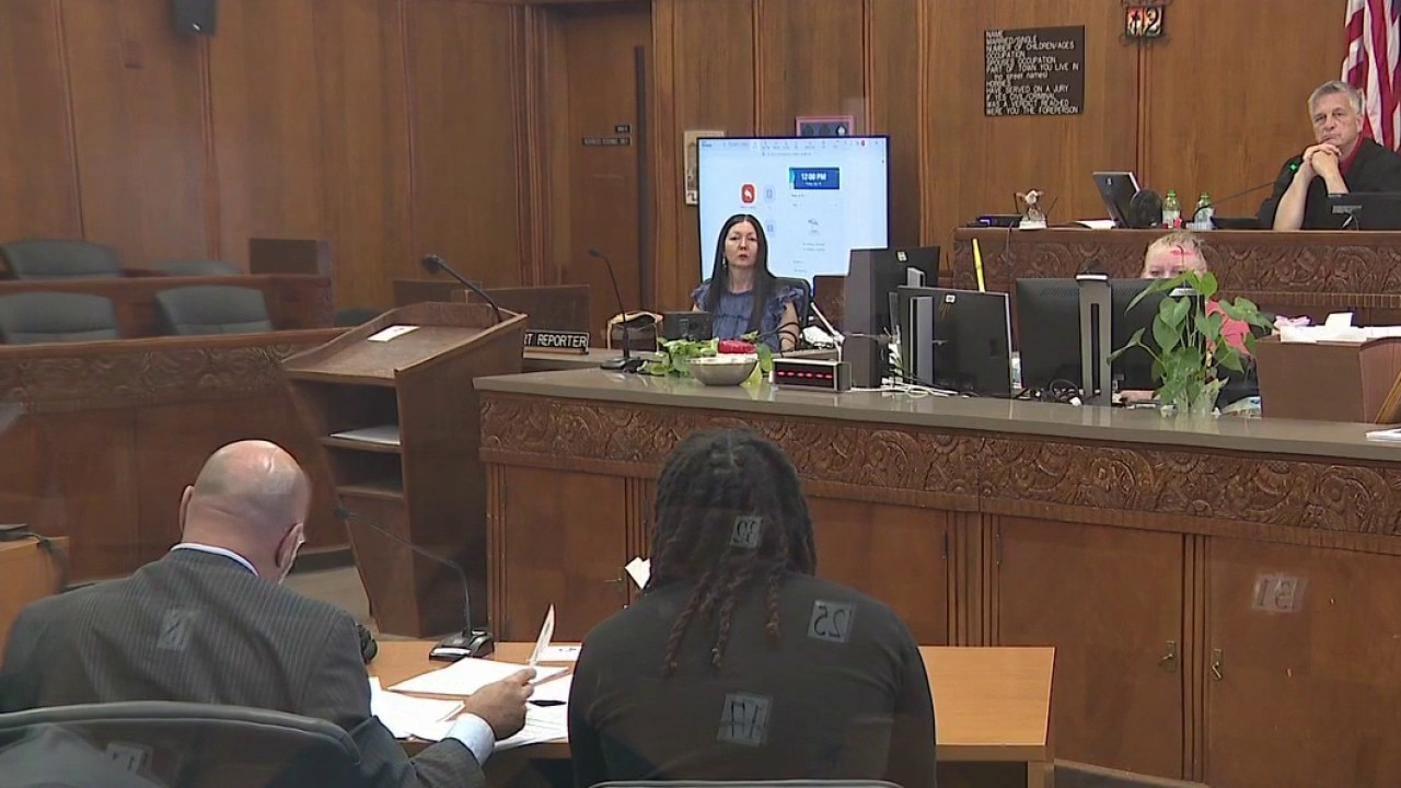
Milwaukee police chase policy debate heading to the Common Council
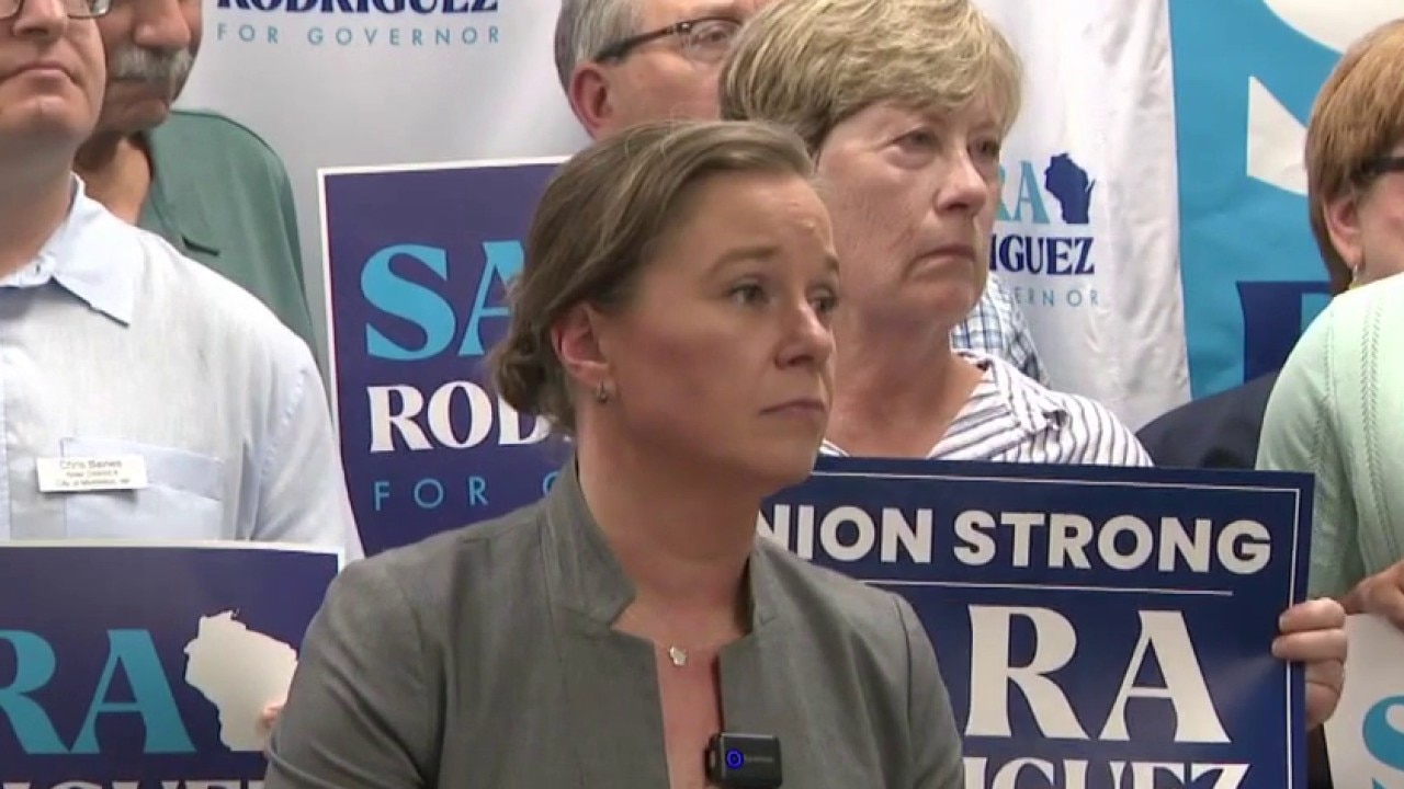
Lt. Governor Sara Rodriguez fires campaign manager
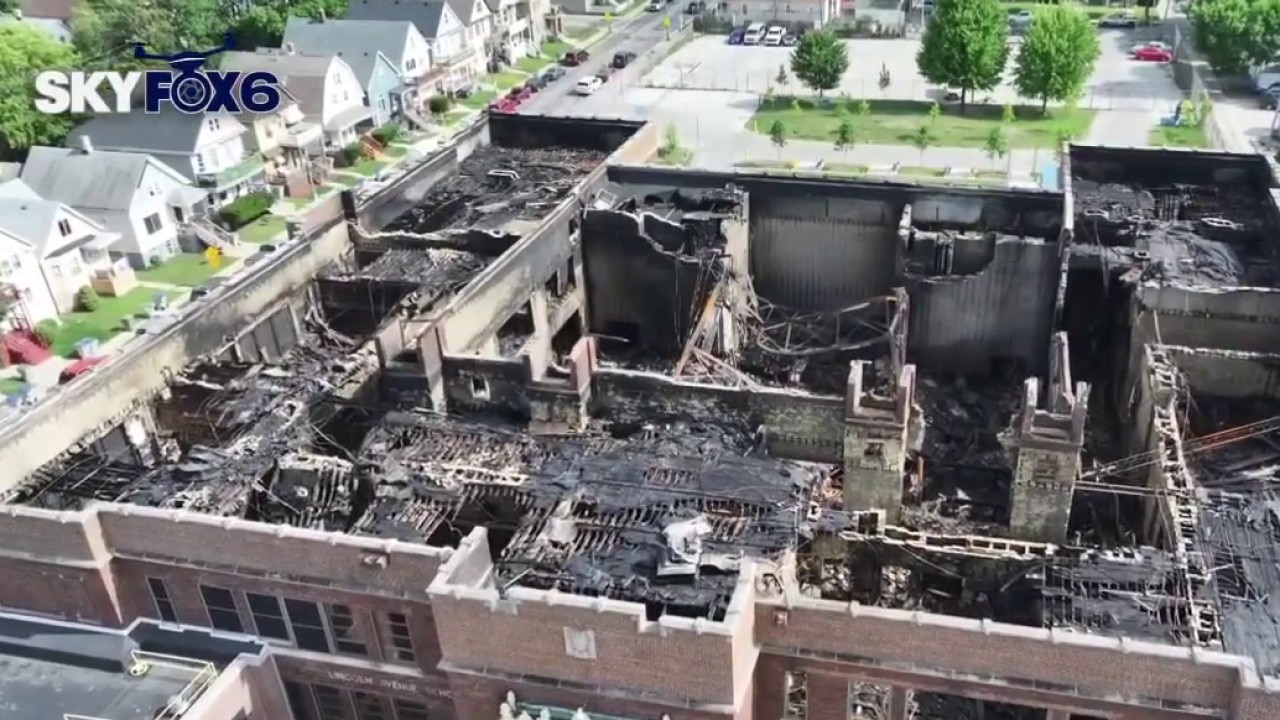
Milwaukee Lincoln Avenue School fire, next steps
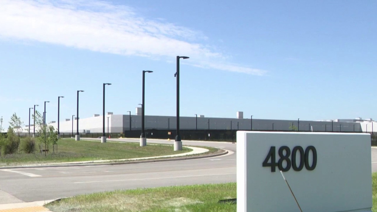
Mount Pleasant data center noise complaints, lawsuit filed

Bicyclist hit near Oak Leaf Trail
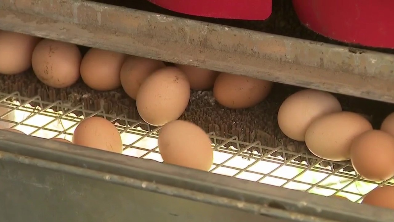
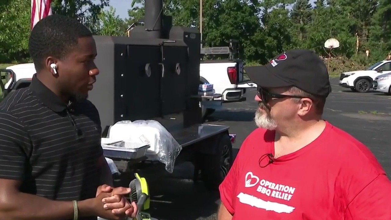
Oconomowoc egg partnership helps local farm feed families in need

Wisconsin's Most Wanted: Edmond Young
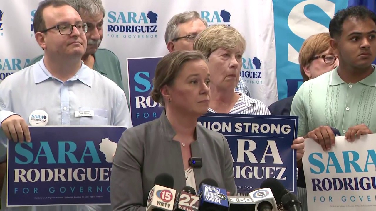
Lt. Governor Sara Rodriguez fires campaign manager
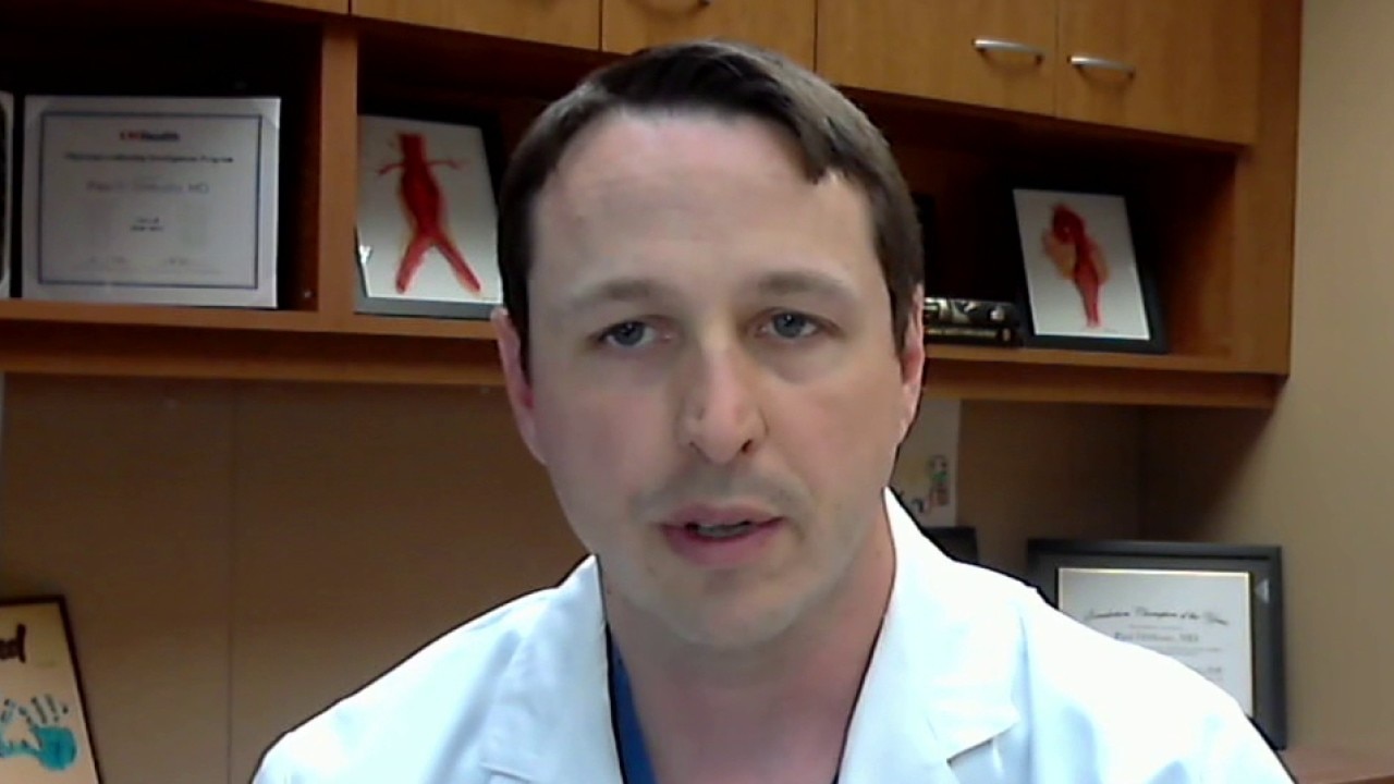
Aortic dissection; what is it and what do you need to know
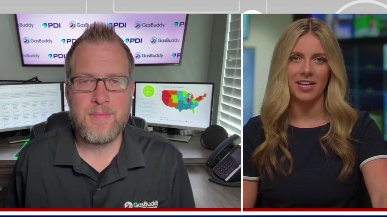
Gas prices on rise with new hostilities in Iran | FOX6 News Milwaukee
Milwaukee Lincoln Avenue School fire; community meeting
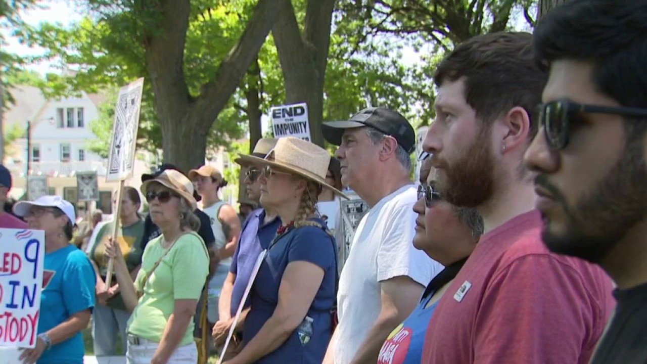
Milwaukee vigil honors man shot by ICE
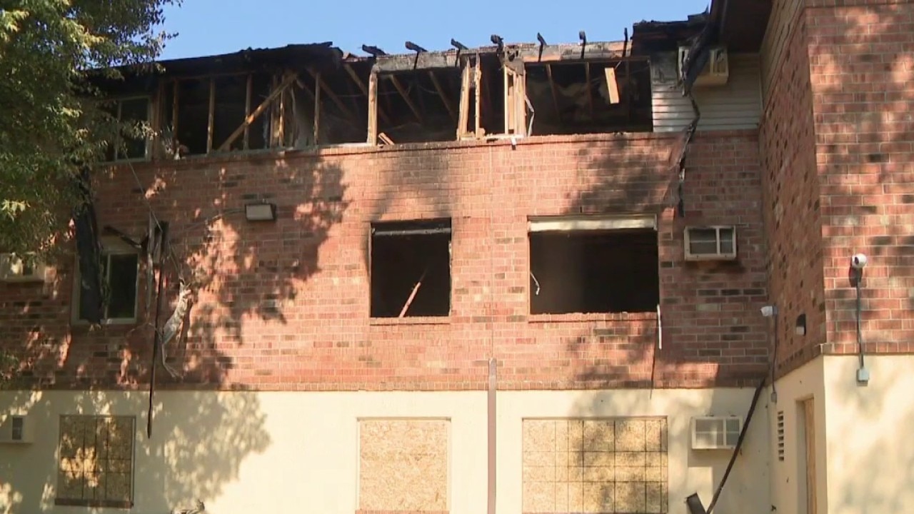
Milwaukee apartment fire; dozens impacted

2027 Summerfest, Bastille Days new dates
Metcalfe Park locals fight food insecurity

2026 Famous Sausage Run/Walk 5K and 10K
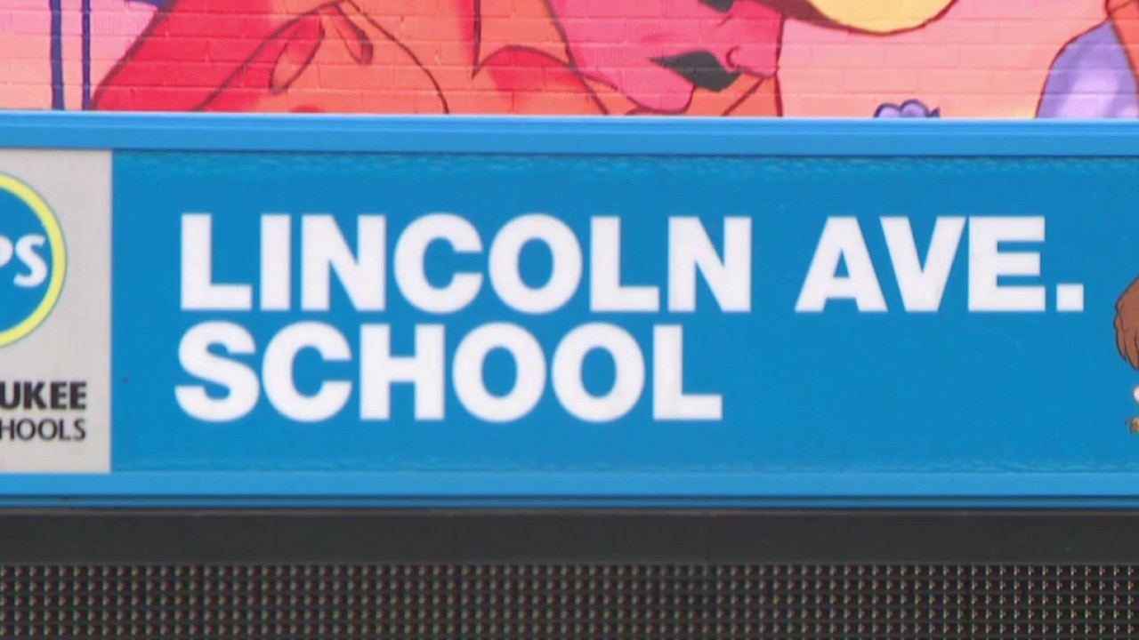
Milwaukee Lincoln Avenue School fire; staff, students to relocate

Kenosha fake slot machine ticket charges
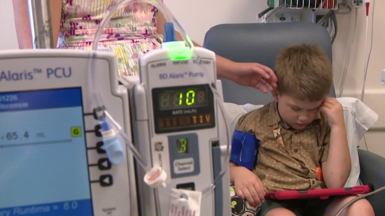
Hunter syndrome: Wisconsin boy receiving breakthrough treatment
Milwaukee man sentenced in child sexual assault case

West Allis police officer charged with misconduct