

GOES-T weather satellite launches, carrying hope of better forecasts

CAPE CANAVERAL, Fla. - A powerful new weather satellite, promising better forecasts for everything to hurricanes to wildfires, is on its way to orbit after a Tuesday afternoon launch from Florida.
The GOES-T weather satellite blasted off from Cape Canaveral Space Force Base on time just after 4:30 p.m., roaring through the breezy blue skies atop an Atlas V rocket. The 20-foot-long, 11,000-pound craft will climb to an orbit over 22,000 miles high, joining others in NOAA’s weather-monitoring constellation.
After undergoing a checkout period, GOES-T will become operational and be renamed GOES-18. It will take over for its predecessor, GOES-17, monitoring the western U.S., Alaska, Hawaii, Mexico, Central America and the Pacific Ocean.
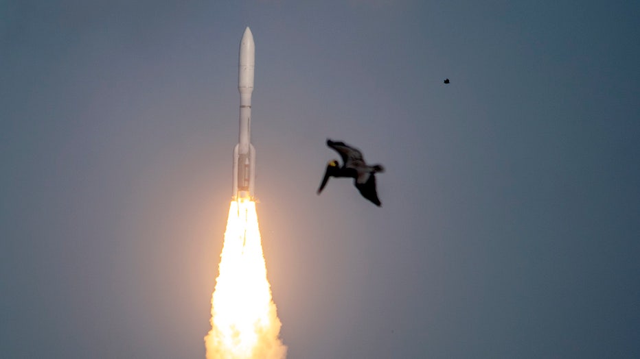
A pelican is seen in front of the GOES-T satellite aboard its Atlas V rocket. (FOX photo)
GOES-T is the third in a series of upgraded spacecraft that are part of the Geostationary Operational Environmental Satellites (GOES) program, a joint effort between NASA and NOAA.
The GOES program dates back to 1975, when the first satellite known as GOES-A launched from Cape Canaveral. As the name implies, the craft operate in a geostationary orbit – one in which their orbital speed matches the speed of the Earth’s rotation. That keeps them over the same spot of the globe at all times.
"The advantage of that is you're able to take an image of the Earth every five minutes, every 10 minutes or even every one minute, and then put those together in a series of images, sort of like having time-lapse photography from space," GOES-R program scientist Dan Lindsey told FOX Weather. "You can see things on the Earth move, such as clouds; you can see the clouds in a hurricane spin. We can watch the wildfires progress, and it really is an absolutely critical asset for forecasters on the Earth to get that imagery."
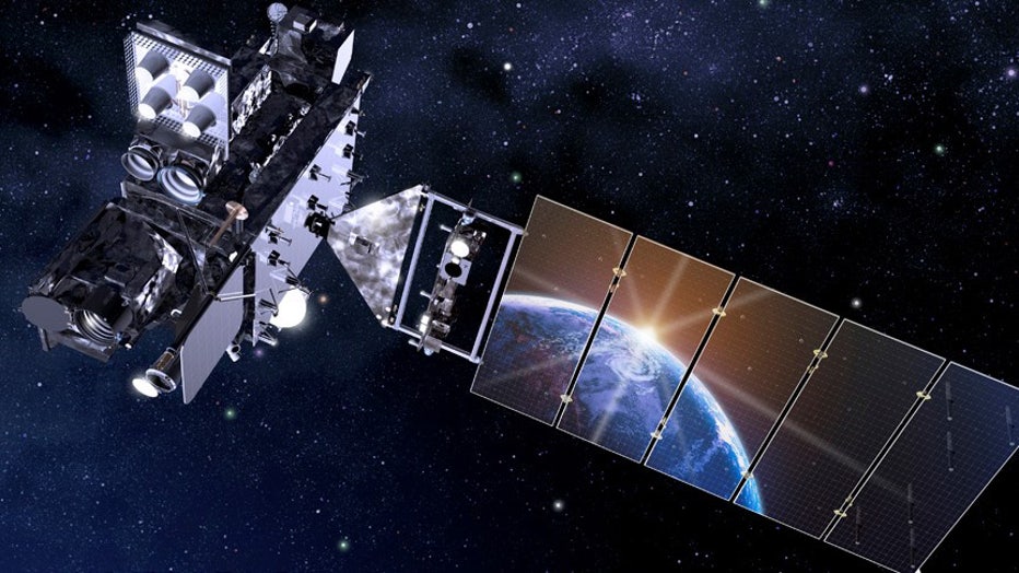
An artist’s rendering of GOES-T. Photo credit: NASA
The most recent GOES satellites in the series started launching in 2016, providing higher-resolution images of the planet in near real-time. Data is available to NOAA within two to three minutes after the spacecraft sees the weather.
A pair of satellites keeps watch over the Pacific and the West Coast, while a second pair keeps eyes on the Atlantic and the eastern U.S.
RELATED: UN report on climate change: Urgent action needed to secure a 'liveable' future
GOES-17 was launched exactly four years ago into the West Coast constellation. After just a few months in orbit, the satellite suffered a problem with its radiator system that lowered the sensitivity of its infrared sensors. A NOAA and NASA investigation suggested the coolant pipes were contaminated with debris, leading to a redesign of the system for future satellites.
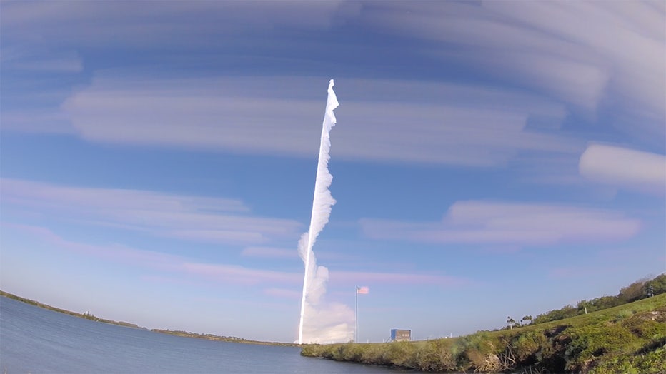
Time-lapse photo of the GOES-T launch. (FOX photo)
GOES-T, which was already built, was sent back to the manufacturer for the changes, delaying its launch from last fall. Now that it’s launched, NOAA plans to put the new satellite into operation as soon as possible, which could be January of 2023.
Once operational, the data from GOES-18 will help meteorologists around the country forecast hurricanes, better predict tornadoes and severe storms, detect lightning, and provide advance warnings for wildfires.
RELATED: 7 things to know about GOES-T, NOAA's new weather satellite
The last of the current series of GOES satellites is still being built and is slated for launch in 2024.
FOX Weather contributed to this report.