

Southeast Wisconsin: Eye catching shelf cloud and striations in a storm
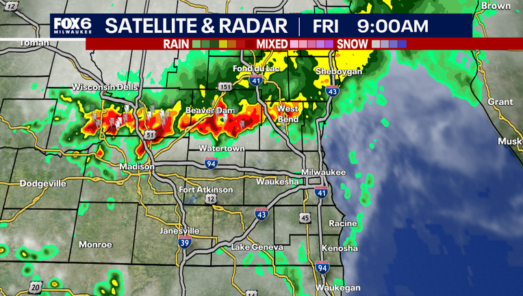
MILWAUKEE - Storms rolled through southeast Wisconsin during the late morning hours on Friday, August 21st. That caused a lot of people to look up to the sky. Prior to the storm moving in, a massive shelf cloud appeared.
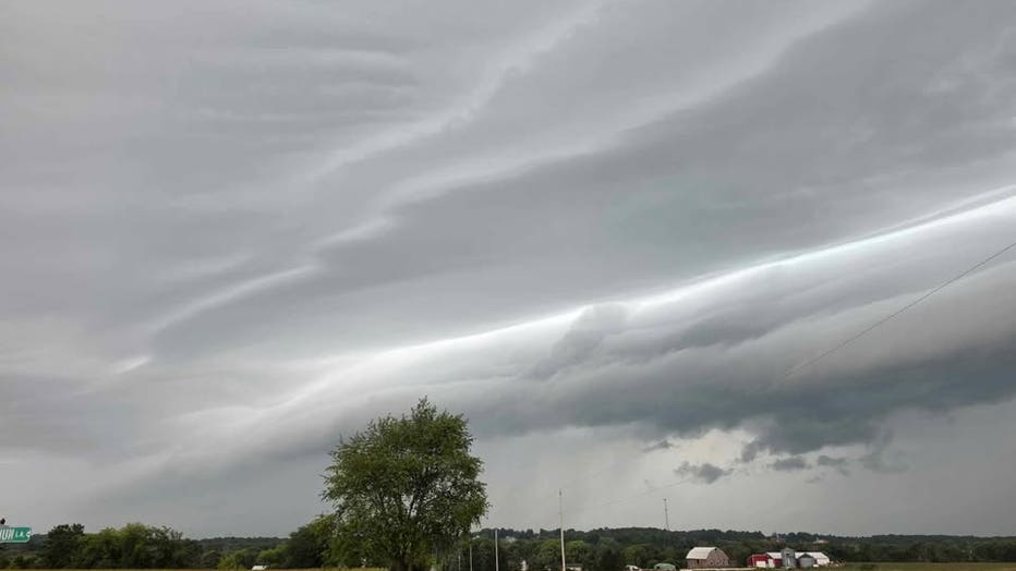
(Credit: Sara S. in Campbellsport, WI)
A shelf cloud is a low horizontal cloud that looks like a shelf. It is the leading edge of a thunderstorm where warm and moist air is forced upward and condenses while rain-cooled air sinks and nudges outward to create this dramatic looking cloud. But what makes these viewer photos so spectacular is the added striations in the cloud varying the shape and color in the leading edge of the storm.
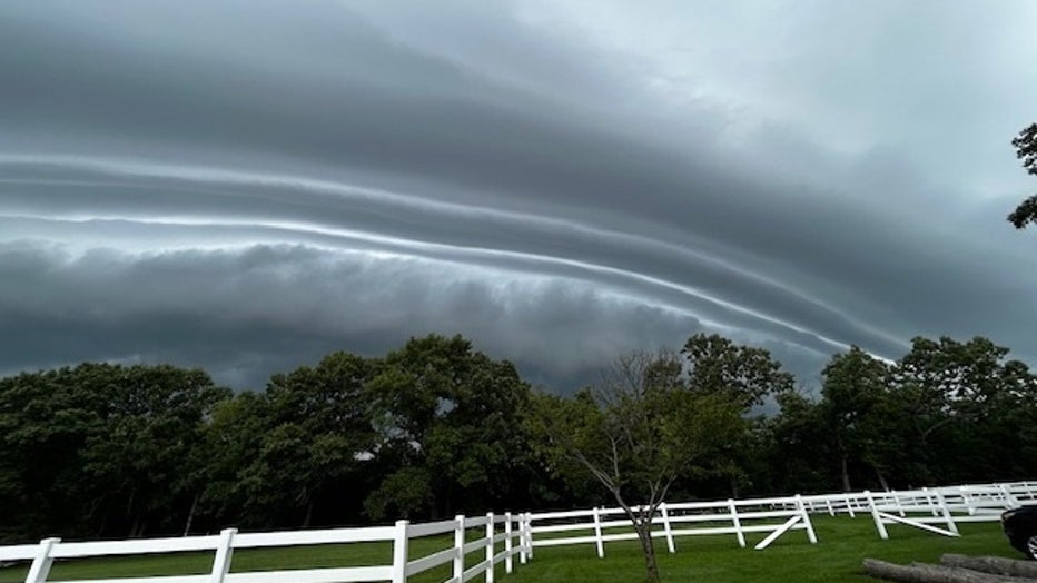
(Credit: Lisa in Genesee, WI)
Striations are the long, parallel lines or grooves carved into the cloud. This shows where the air flows parallel to the main clouds. Changes in wind speed and direction with height can shape these bands. This often means organized storms are present that can produce heavy rain and strong winds.
Many viewers sent in photos of this storm that, thankfully, it did not bring any severe weather, but it did bring a quarter of an ich of rain for some locations.
The Source: Information in this post is provided by FOX6 Weather Experts.