Flood concerns grow as end of April gives SE Wisconsin some much needed rain
SOUTHEAST WISCONSIN -- Before Monday, April 27, most of southeast Wisconsin had hardly seen an inch of rain for the entire month! Milwaukee usually averages over 3.5" of precipitation in April and with this latest system, we have a great chance of getting back to that average.
By the time the rain lets up, a majority of our region will receive well over 1" of rainfall. The heaviest of the rain will fall Wednesday, April 29 on top of already saturated ground, which is leading to some flood concerns.
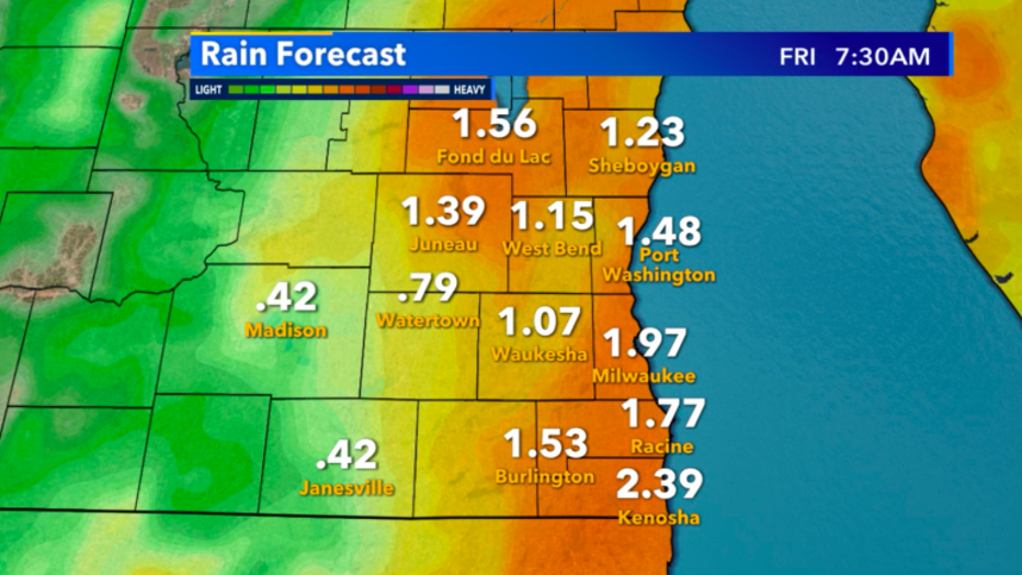
Future rainfall expected across Wisconsin through Friday, May 1st
Milwaukee, Waukesha, Walworth, Racine and Kenosha counties are all under a flood watch through 12 a.m. Thursday until rain rates calm down.
If you come across flooded roadways, please turn around and avoid the risk of your car getting swept away.
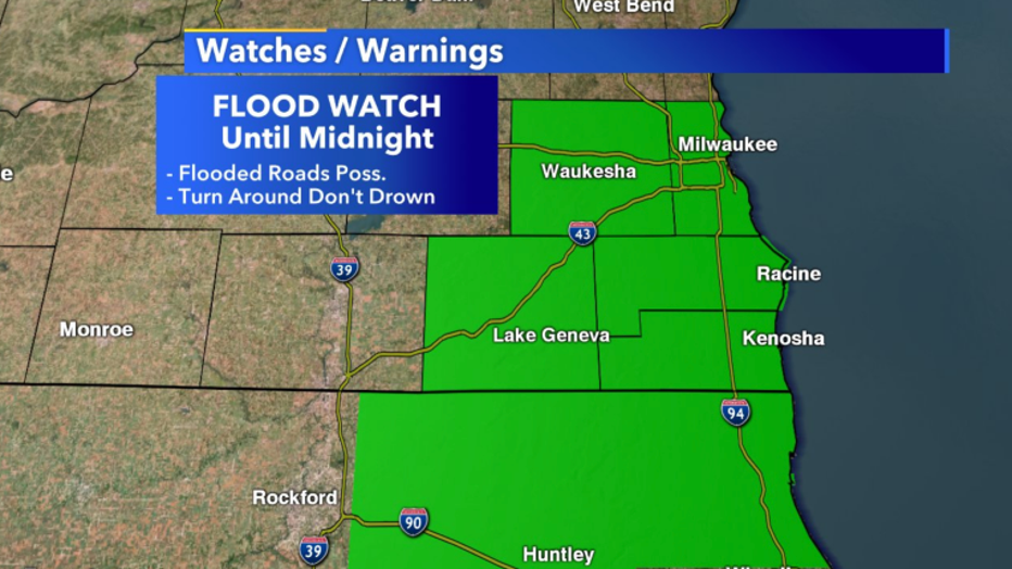
Flood Watch until Midnight, Apr. 29
Skyvision Plus has the heaviest of rain pushing through Wednesday afternoon into Wednesday night, but it won't be constant. Showers will transition from a drizzle to heavier rain rates on and off throughout the day.
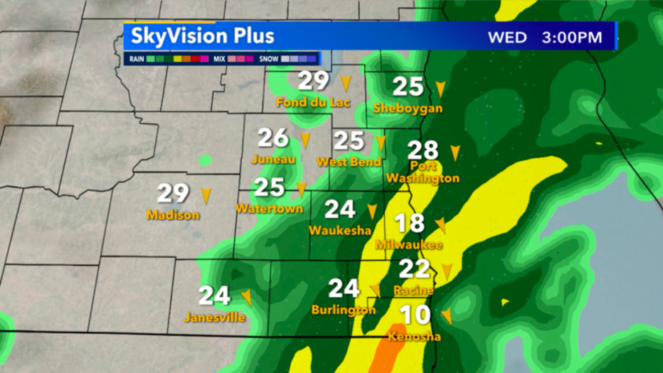
Skyvision Plus look at the radar this afternoon, Apr. 29th
Wednesday night into early Thursday morning, precipitation will transition over to mostly light rain. Still, pockets of heavier showers are possible but overall conditions just stay soggy.
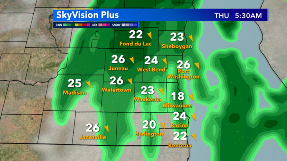
Skyvision Plus future radar for tomorrow, Apr. 30 morning
If you were hoping to go outside more Thursday, you'll need to have an umbrella with you as light rain chances last almost all day, and really don't go away until early Friday morning, May 1. The great news is the weekend forecast is looking fantastic!
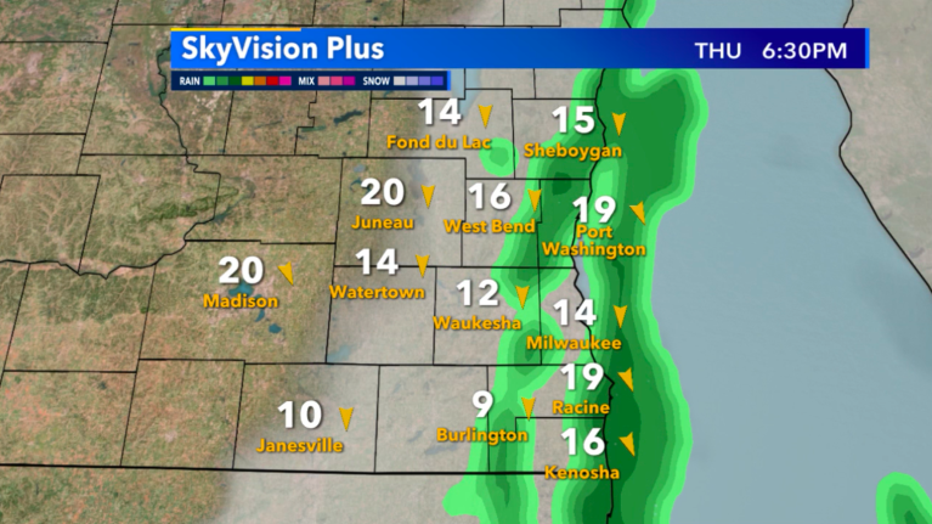
Skysvision Plus future radar for tomorrow, Apr. 30 evening

