Weather webcast with Rob Haswell
A few showers with a slight chance for a thunderstorm today as a cold front passes through Wisconsin - exiting our area late afternoon and early evening. As that front passes, we can expect the wind to turn to the NE and become stronger briefly. Highs will get to near 80 and fall rapidly behind the front. The strong NE wind will trigger a Beach Hazards Statement for the entire shoreline today. Stay out of Lake Michigan. We stay dry the remainder of the week and start to warm up again with 90s returning by the weekend.
Top Videos
Weather webcast with Rob Haswell

Milwaukee Police District 5 shooter eligible for conditional release
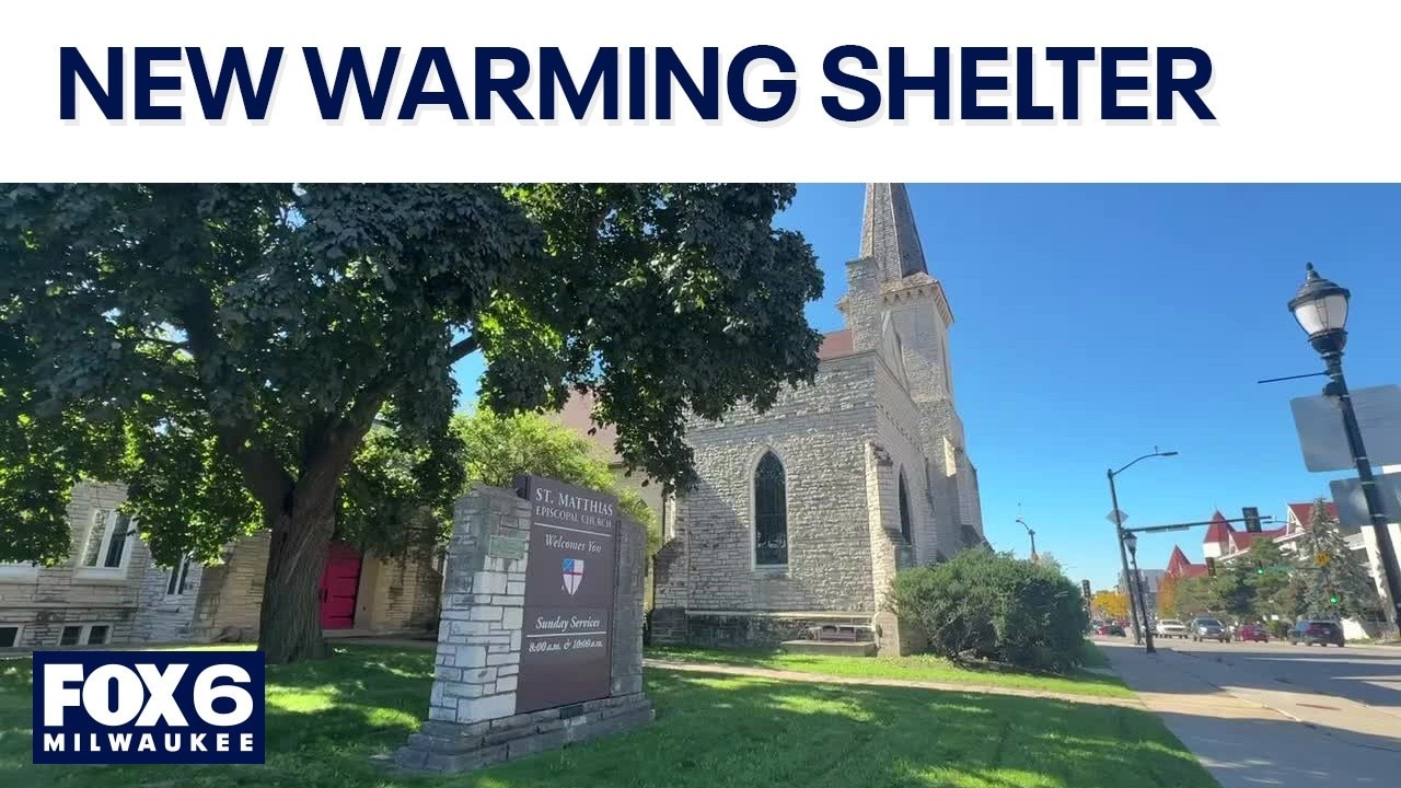
Waukesha warming center to open at St. Matthias Church

Brewers postseason: Excitement building for the NLDS

Brewers postseason: National Bakery has the sweet treats!

Brewers postseason: Businesses taking advantage

NLDS Game 1 preparations; what you need to know

Racine Oktoberfest: German culture celebration comes to downtown
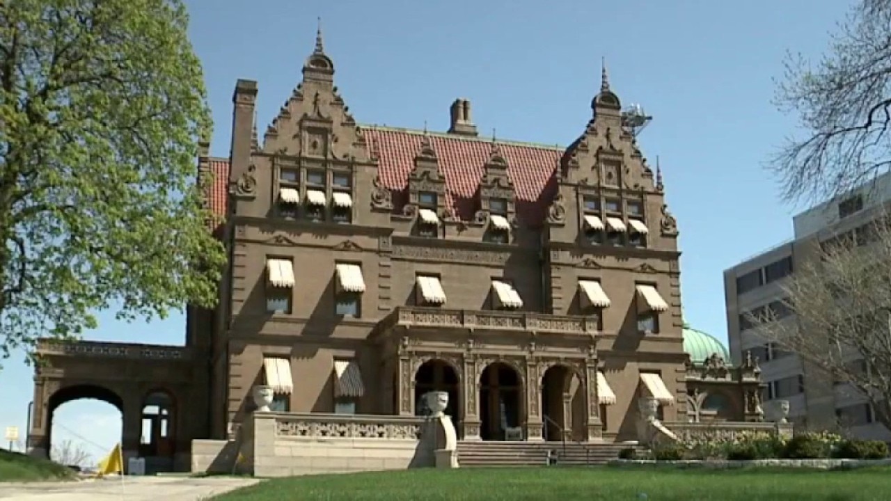
Pabst Mansion awarded $750,000 fundraising grant
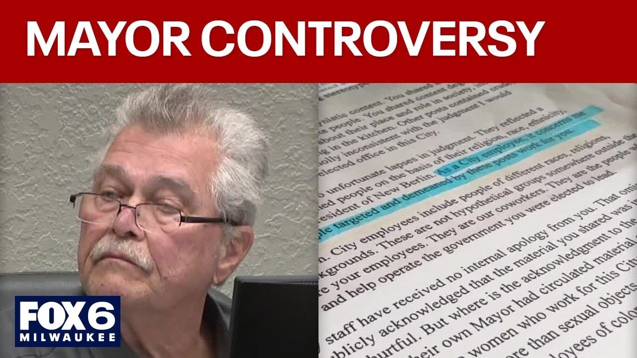
New Berlin mayor anti-Muslim comments; records reveal backlash, support

Milwaukee Bucks sue Lesaffre Yeast over unpaid season tickets

Metcalfe Playfield in Milwaukee; ribbon cutting and celebration

Packers vs. Buccaneers: FOX Sports' Jen Hale offers analysis

Wisconsin coastal communities receive $1.3M in grants
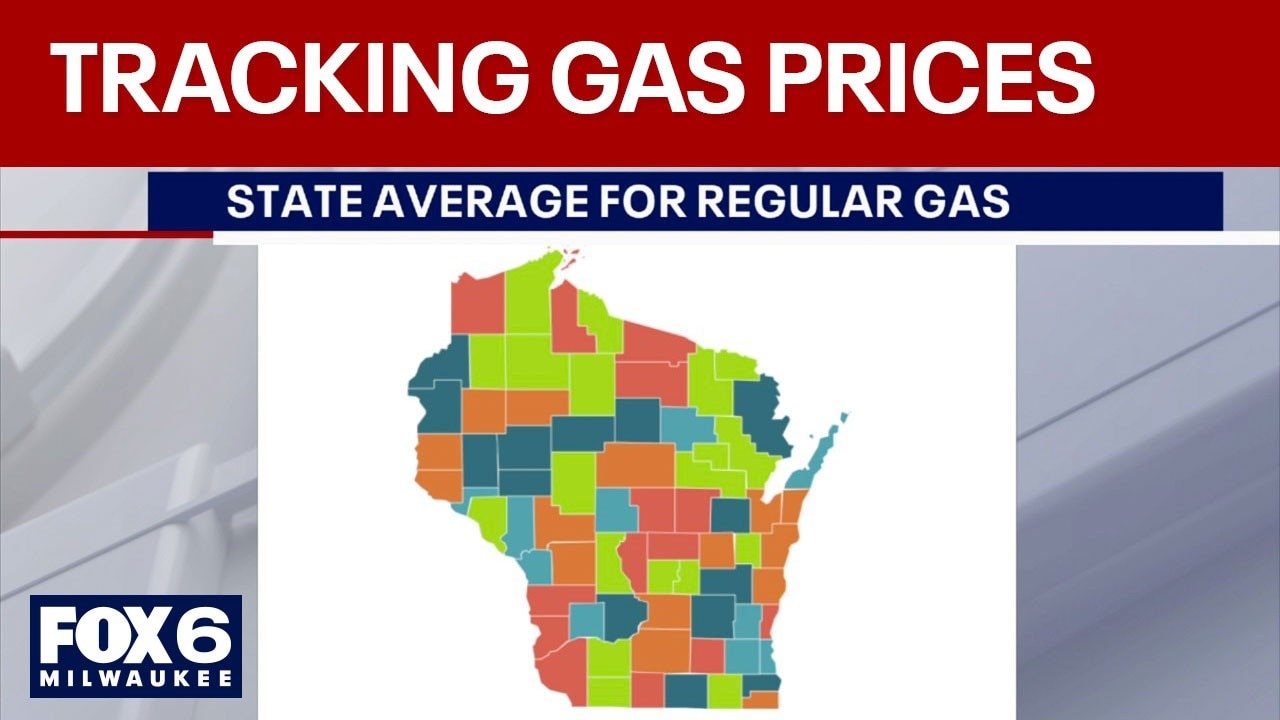
Gas prices in southeast Wisconsin; what is the latest trend?
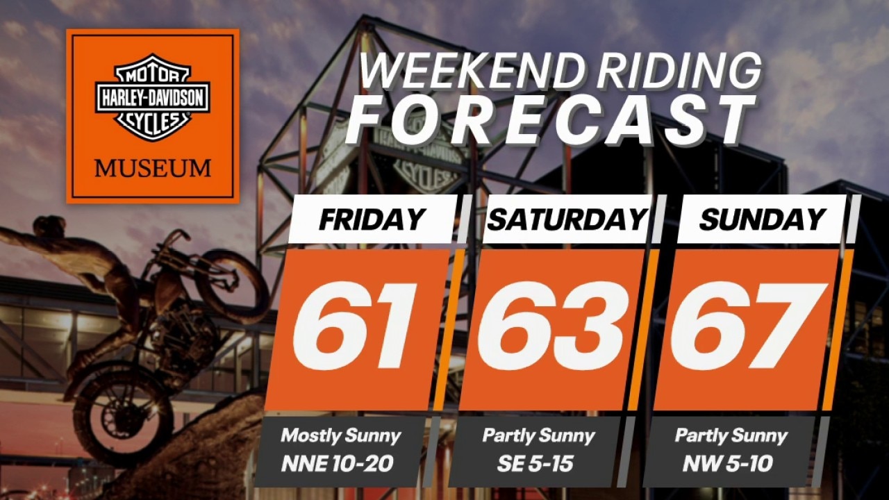
Wisconsin Weekend Riding Forecast for Oct. 2-4, 2026
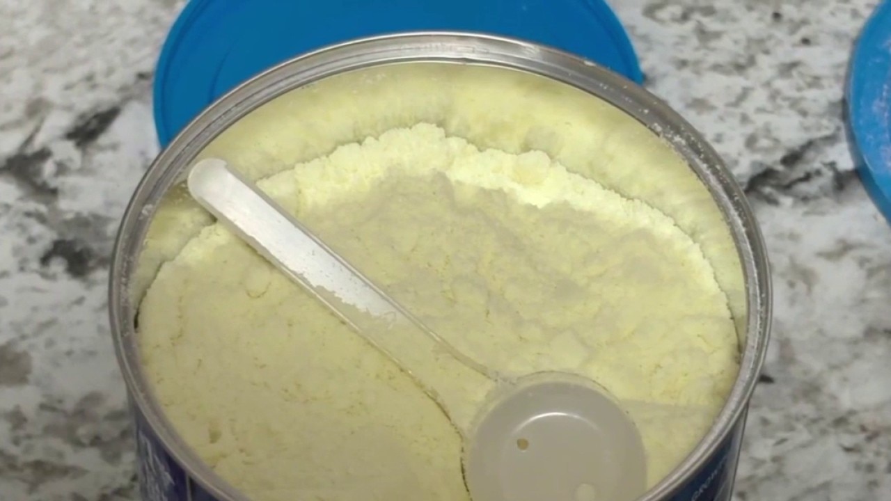
Milwaukee baby sickened after formula swapped with flour at gas stati

Milwaukee County budget proposal increases tax levy, decreases rate
Wisconsin standardized test scores: Student performance revealed

Milwaukee police shooting: 17-year-old wounded near 8th and Scott

Milwaukee VA hosts breast cancer walk on Oct. 2

Milwaukee Public Museum's "Halloween in the Streets"

2026 Coolest Thing Made in Wisconsin: Round of 16

Milwaukee County Executive David Crowley presents 2027 budget plan

Milwaukee police shooting; video offers closer look at aftermath