Weather webcast with Rob Haswell
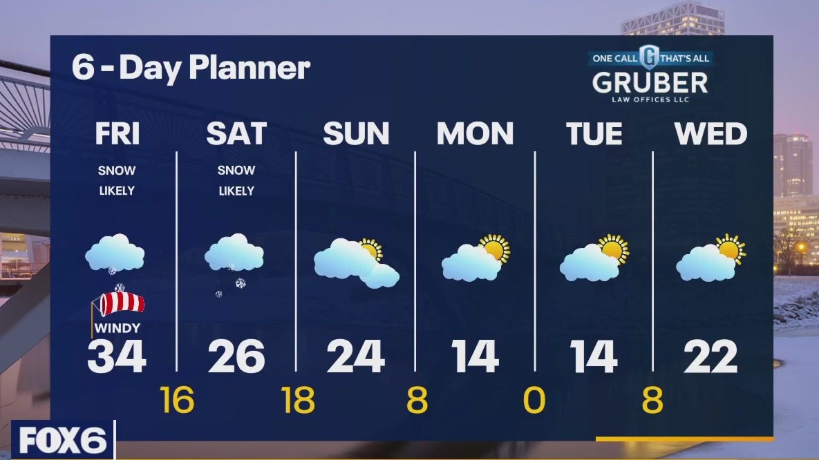
A cold front cuts across Wisconsin today. Ahead of that front we can expect a strong SW windy gusting to near 35mph. Snow showers are likely ahead of and along the front with accumulations around 1" at most but the snow will reduce visibility and cause poor driving conditions at times. We should warm to the low 30s before the front passes but then fall into the teens overnight and only get into the 20s for highs this weekend. Another round of snow arrives Saturday with the potential for a more significant accumulation of snow.
Top Videos
Weather webcast with Rob Haswell
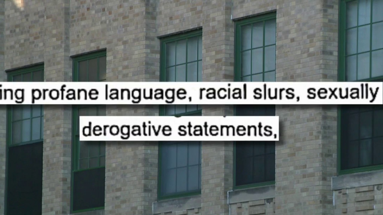
MPS update on substitute teacher imposter case

Pothole caused multiple flat tires, driver says

Gun incident outside Bradley Tech

Abortion law: Where Crowley, Tiffany stand

Inside Abandoned Haunted House Complex

Burlington HS credit union branch opens

Meet Wisconsin's first Hispanic mayor

Rivalry Week: Bears, Packers square up

Wisconsin Legislature control up for grabs

Racine shooting, teen killed at park

Milwaukee Public Museum celebrates Hispanic Heritage Month

Summerfest's economic impact on Milwaukee, Wisconsin

Making Strides Against Breast Cancer Walk in Milwaukee

Brewers, Padres: Walk around downtown San Diego

Padres fans have faith in their team; as do Brewers fans

Woman posed as teacher, berated kids: complaint

Milwaukee street honors John Williams

Food pantry forced to move due to leaky roof

Monthly mental health meetings for veterans

Brewers-Padres in NLDS; San Diego perspective from former FOX6 anchor

October is Breast Cancer Awareness Month

Runner dies after participating in Milwaukee Lakefront Half Marathon

Wisconsin's Most Wanted: Search for Dion Spychala

Racine double shooting; teen dead, another in custody